Overview
Sweet Auburn is a neighborhood in Atlanta, Georgia where Martin Luther King, Jr. was baptized and ordained as a minister in Ebenezer Baptist Church. The National Park Service (NPS) was granted 39 acres here in 1980 to honor the Civil Rights leader who won the Nobel Peace Prize in 1964. Following his assassination in Memphis, Tennessee, King’s funeral was held at Ebenezer Baptist Church on April 4, 1968. It is free to visit the NPS museum, birth home, and affiliated Martin Luther King, Jr. Center for Nonviolent Social Change.

Highlights
Museum, Ebenezer Baptist Church, MLK birth home, Reflection Pool tomb
Must-Do Activity
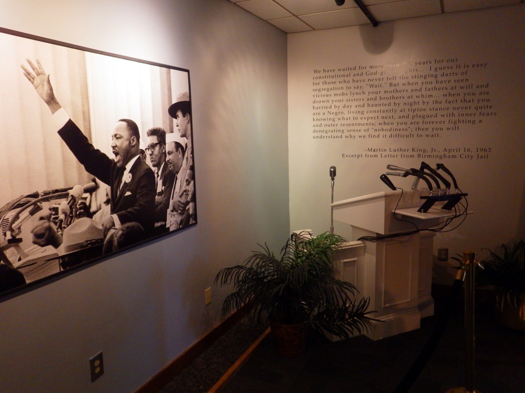
Inside the NPS museum, immersive audiovisual bubbles take visitors through the life of this prominent Civil Rights protestor. A short walk is required to enter his boyhood home (which is wheelchair accessible). Silence is mandatory while inside. Outside the neighboring King Center, the Reflection Pool contains the tombs of Martin Luther King, Jr. and his wife Coretta Scott King, as well as an eternal flame.
Best Trail
None
Instagram-worthy Photo
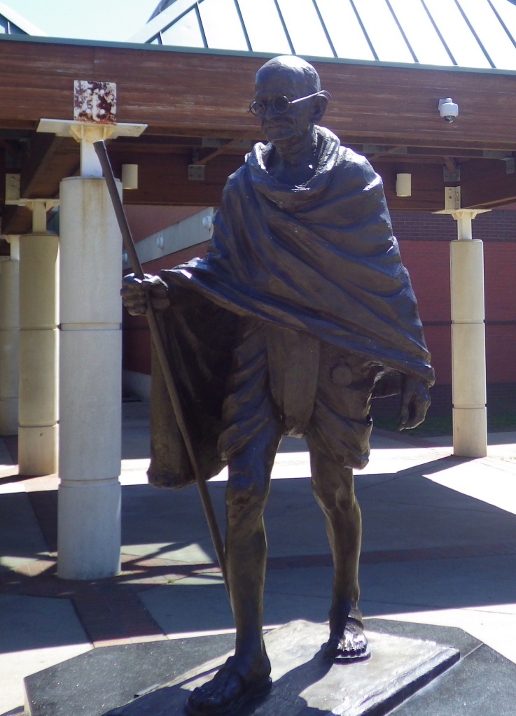
When reviewing this picture, Tiff swore she thought Gandhi was holding a selfie stick and was wearing sunglasses.
Peak Season
Spring and fall
Hours
https://www.nps.gov/malu/planyourvisit/hours.htm
Fees
None
Road Conditions
A large, free parking lot is located north of the NPS visitor center.
Camping
Campgrounds are located outside Atlanta at the Corps of Engineers’ Lake Sidney Lanier and Forest Service’s Chattahoochee National Forest.
Related Sites
Martin Luther King, Jr. National Memorial (District of Columbia)
Medgar and Myrlie Evers Home National Monument (Mississippi)
Chattahoochee River National Recreation Area (Georgia)

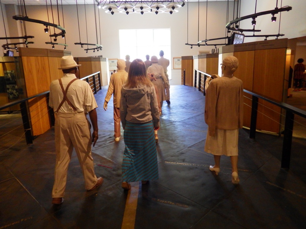
Tiff inside the museum 
Tiff on the backside of the MLK birth home (no photography allowed inside) 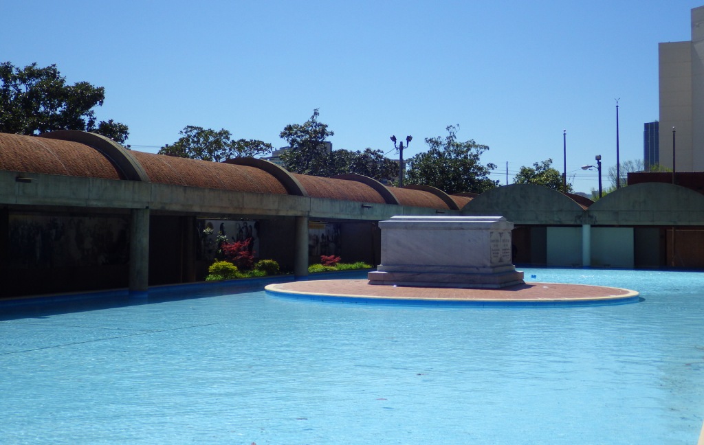
Tombs and Reflecting Pool 
The eternal flame 
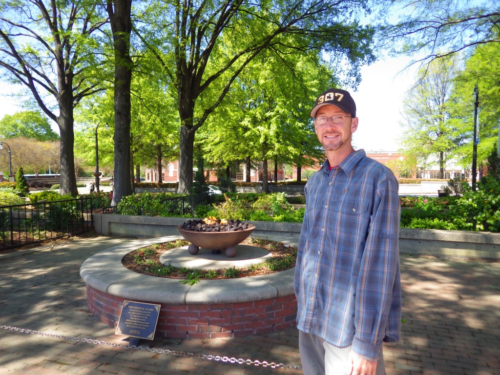
Scott with the eternal flame 
This cardinal was in a tree where we parked
Explore More – How was Martin Luther King, Jr.’s mother also tragically killed by gunshot in 1974?