All posts by Raven About The Parks

Top 10 Day Hiking Trails in National Forests

This was a difficult Top 10 list to pick since there are so many great hiking options in America’s 155 National Forests.  We realized some of our favorite trails were already included in our Top 10 National Forests for Backpacking, although Gila National Forest made it on both lists for different trails.  We also discovered we could make an entire list of Top 10 Summit Trails in National Forests, so check that out too.  Click here to see all of our Top 10 Lists.

10. Devil’s Head National Recreation Trail

Pike National Forest (Colorado)

At the end of this trail, an amazing fire lookout tower awaits surrounded by giant boulders (similar to The Crags, a 2.5-mile one-way trail near Cripple Creek)

9. Methuselah Grove Loop

Inyo National Forest (California)

High up in the remote White Mountains, a 4.5-mile loop passes Great Basin bristlecone pine trees that are thousands of years old and offers awesome views of the Owens Valley and Mt. Whitney

8. Rattlesnake Creek Trail

Dixie National Forest (Utah)

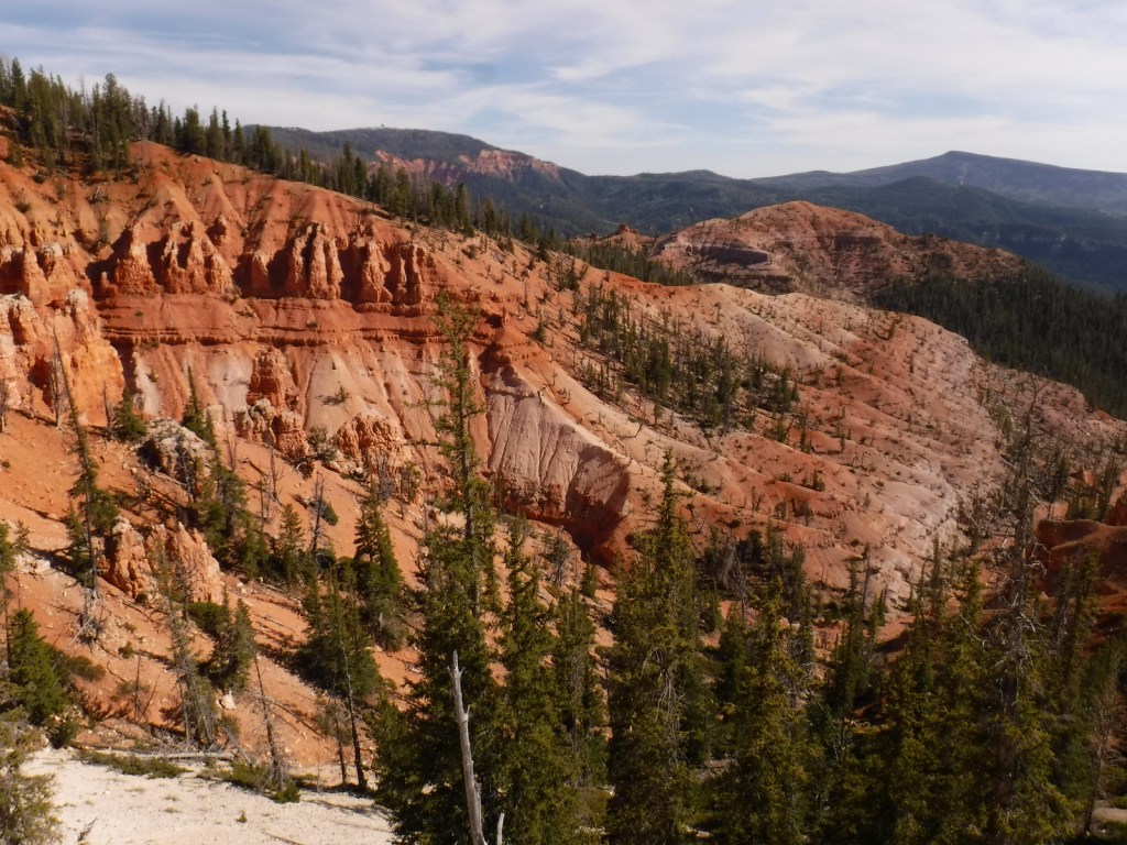
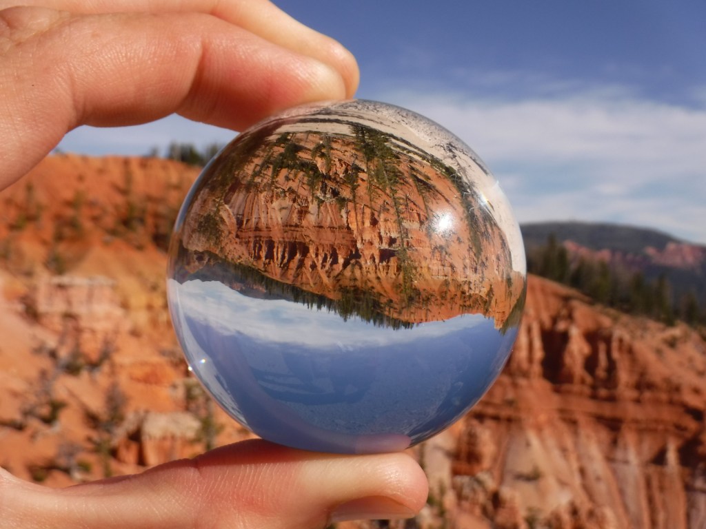
Skirts the edge of spectacular Cedar Breaks National Monument, a red rock badlands full of hoodoos where Great Basin bristlecone pine trees cling to the eroding edge

7. The Catwalk National Recreation Trail

Gila National Forest (New Mexico)

The first mile is partially elevated above raging Whitewater Creek on wide, steel grates complete with handrails and interpretive signs

6. Seneca Rocks Trail

Monongahela National Forest (West Virginia)

Seneca Rocks is very popular with rock climbers, but hikers can access the narrow rock ledge via a steep 1.3-mile one-way trail

5. Abineau Canyon Trail

Coconino National Forest (Arizona)

Sedona is full of scenic trails, but our favorite trail is north of Flagstaff in the San Francisco Peaks (especially when the quaking aspen leaves turn in October)
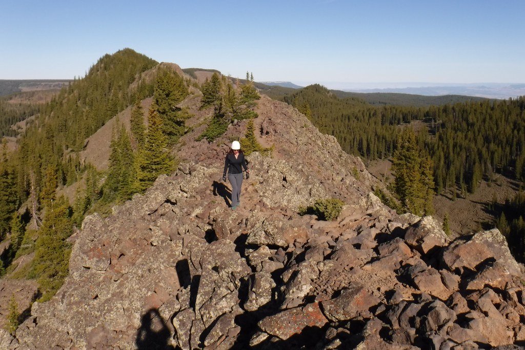
4. Crag Crest National Recreation Trail

Grand Mesa National Forest (Colorado)

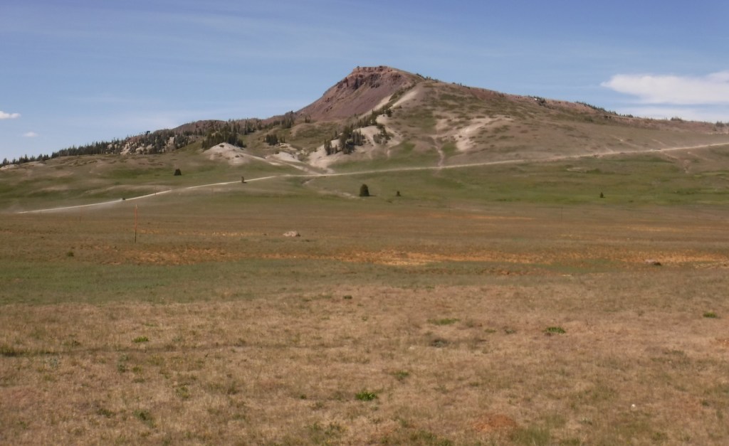
It can be hiked as a 10.3-mile loop from two trailheads, but the crest portion of the hike is the highlight as it follows a narrow ridge of volcanic rock that offers spectacular views

3. Joyce Kilmer National Recreation Trail

Nantahala National Forest (North Carolina)

The tulip-poplars and other giant trees protected in this old-growth cove hardwood forest are spectacular

2. Trail of 100 Giants

Sequoia National Forest (California)

A short, paved trail past giant sequoias in the Longwood Meadow Grove (nearby, we highly recommend the 4.7-mile hike that climbs 698-feet to Buck Rock Lookout, arguably the nation’s most stunning location for a fire lookout tower)

…and finally our #1 day hiking trail in a National Forest:

1. Maple Pass Loop

Okanogan National Forest (Washington)

An 8.5-mile loop that switchbacks up more than 2,000 feet past Lake Ann to spectacular Maple Pass (the counter-clockwise route is less steep)

.

Honorable Mentions

Rock Bridge Trail

Daniel Boone National Forest (Kentucky)

All of the trails in Red River Gorge Geological Area are great, with sandstone arches and overlooks as destinations
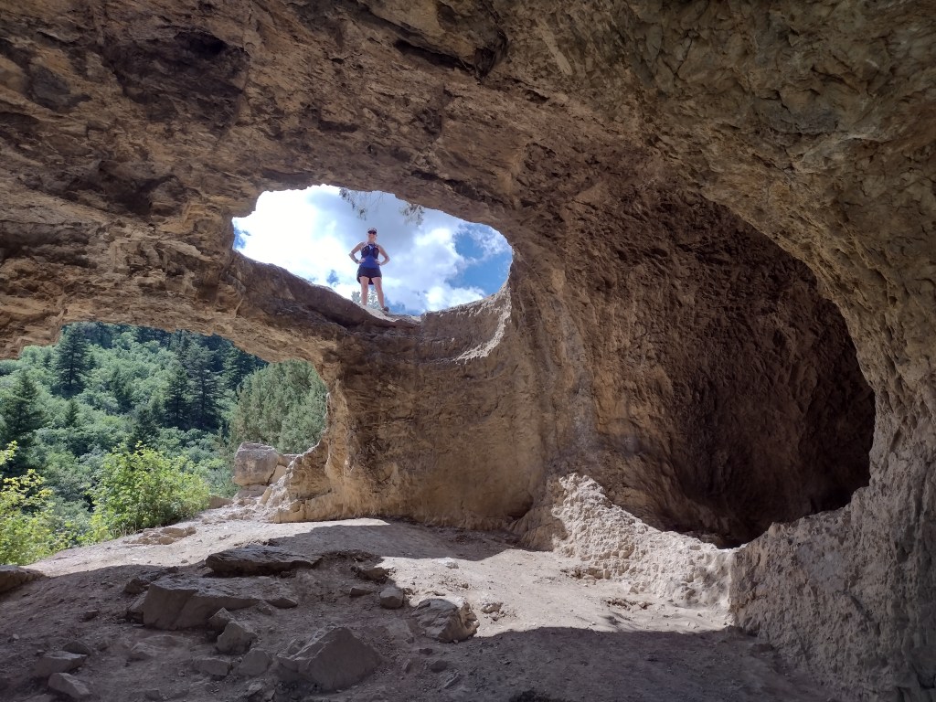
Wind Cave Trail

Cache National Forest (Utah)

There are canyon views the entire way as this 3.6-mile out-and-back trail gains more than 900 feet in elevation to the limestone arches of Wind Cave

Lake Ann Trail

Mt. Baker National Forest (Washington)

Often snow-packed well into July, this 4.2-mile one-way trail to Lake Ann offers unsurpassed views of Mt. Baker and Mt. Shuksan on clear days

Peralta Trail

Tonto National Forest (Arizona)

Due to its proximity to Phoenix, Peralta Trail is often packed with hikers (as is Siphon Draw Trail, another favorite hike that gains 2,781 feet of elevation to the Flatiron)

We have included our favorite hiking trail for each of the 155 National Forests in our travel guidebook Out in the Woods
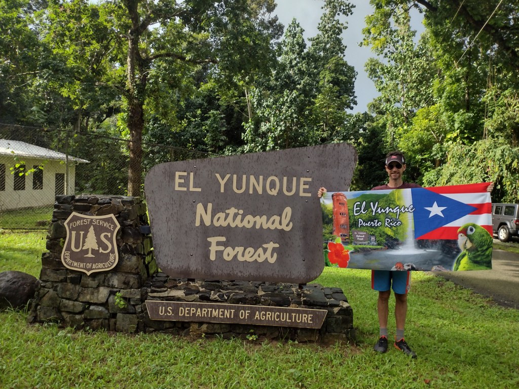
El Yunque National Forest

El Yunque National Forest

Puerto Rico (U.S. territory)

Managed by U.S. Forest Service, Southern Region

56,097 acres (28,434 federal/ 27,663 other)

Website: https://www.fs.usda.gov/elyunque

Overview

Also called Bosque Nacional El Yunque, this forest was known as the Caribbean National Forest from 1935 until 2007 when it was renamed for a 3,496-foot peak.  It is the only tropical rainforest and the oldest protected forest in the U.S. Forest Service system, originally set aside in 1876 by King Alfonso XII of Spain.  Puerto Rico is still recovering from Hurricane Maria that struck September 20, 2017, and the Forest Service’s El Portal Rainforest Visitor Center remains closed while under reconstruction.

Highlights

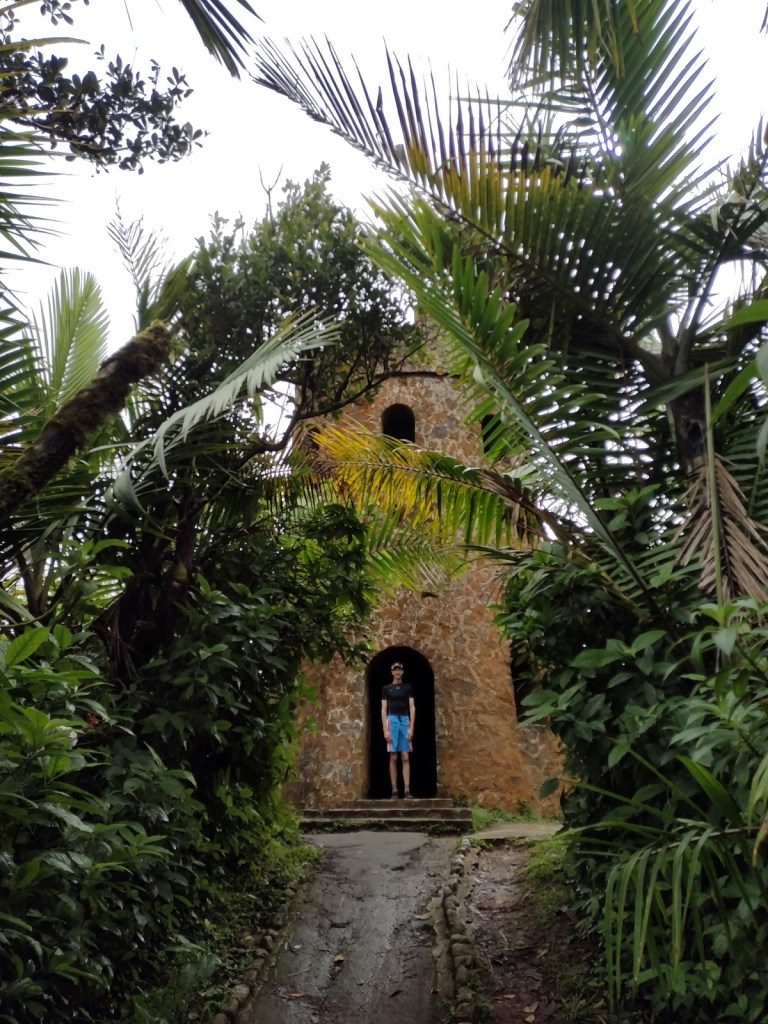
El Portal Rainforest Visitor Center, La Coca Falls, Juan Diego Creek, Yokahú Observation Tower, Baño de Oro, Mt. Britton, El Yunque Trail, El Toro National Recreation Trail

Must-Do Activity

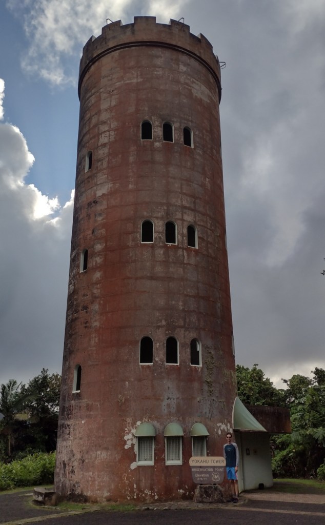
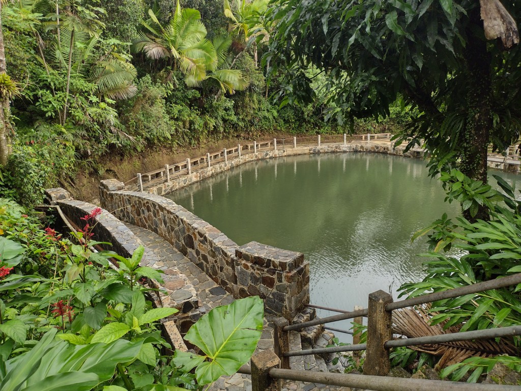
Unlike other national forests, El Yunque is a major tourist destination in Puerto Rico with buses bringing cruise ship passengers up the Sierra de Luquillo Mountains less than an hour’s drive from the capital of San Juan.  They all stop at La Coca Falls and Yokahu Observation Tower, but fewer visitors hike to the top of 3,496-foot El Yunque or Mt. Britton.  Enough people visit that the Forest Service instituted an online reservation system (fee required) similar to the one at Rocky Mountain National Park.

Best Trail

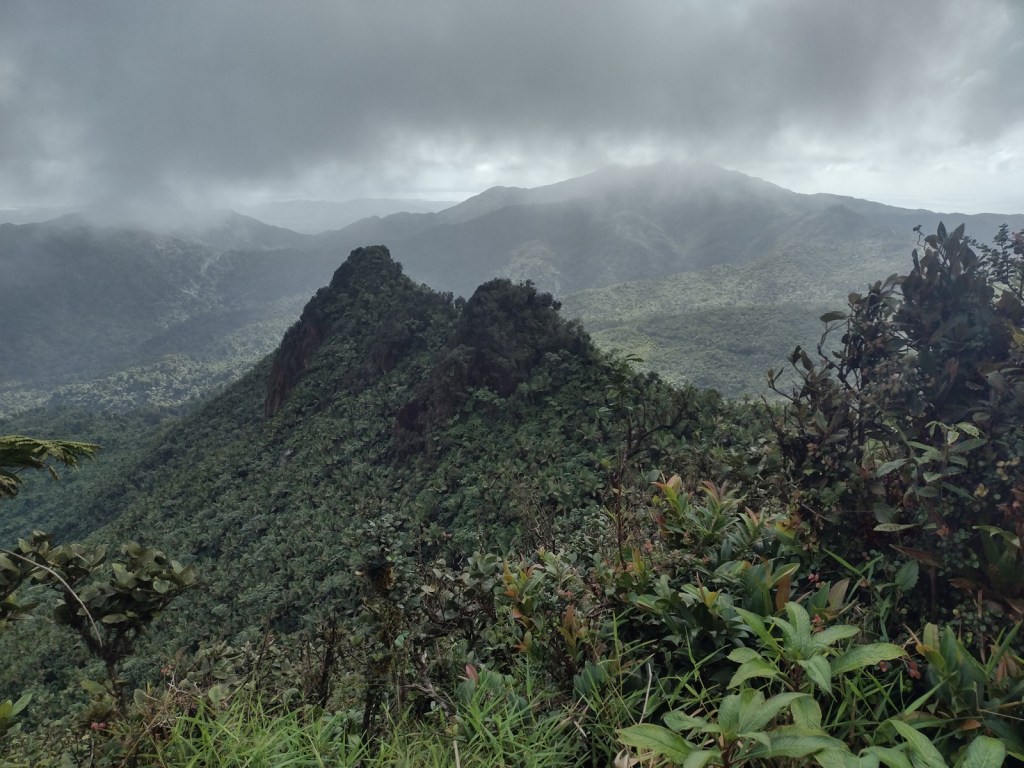
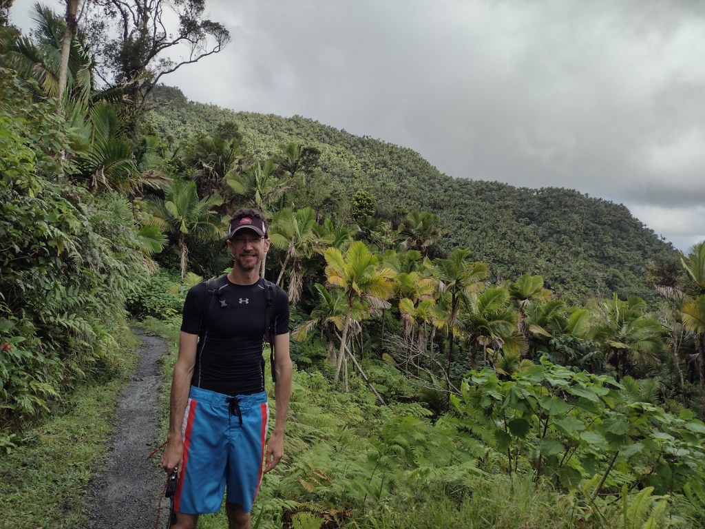
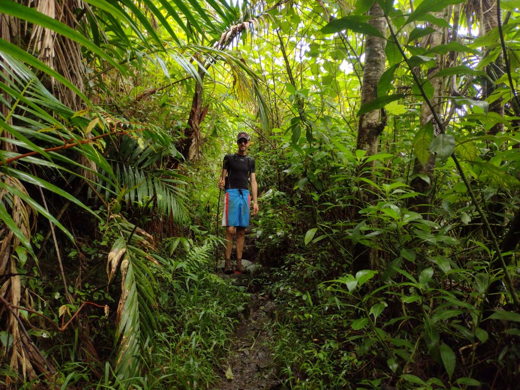
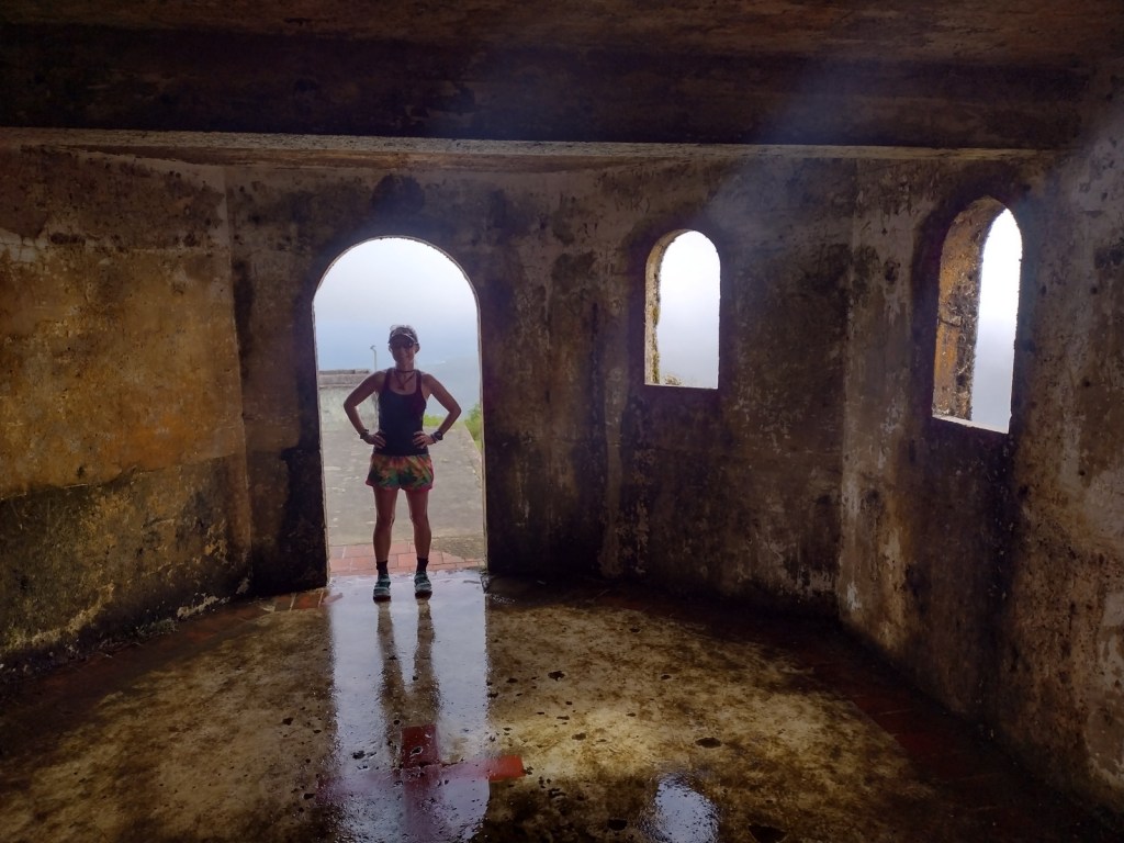
Every step squished and our feet often disappeared in ankle-deep, orange-brown mud on the five-mile out-and-back El Toro National Recreation Trail.  Glad to have walking sticks, we stepped carefully as we slowly approached the summit of the 3,526-foot mountain.  Average annual precipitation in these “cloud forests” is 150 to 240 inches and poor water runoff from the volcanic soils results in boggy, acidic conditions.  In 2005, the 10,000-acre El Toro Wilderness became the first Wilderness designation in a U.S. territory.

Watchable Wildlife

Bird watching is the main attraction, and we spotted a Puerto Rican tody, elfin woods warbler, broad-winged hawk, red-tailed hawk, and many zenaida doves.  We never saw one, but when the sun set or it rained we enjoyed listening to the coquis, small tree frogs whose name is onomatopoeia for their call.  There are 17 species of coqui in Puerto Rico (11 of them endemic) but only the forest and common coquis emit their namesake sound.  Rather than going through a tadpole phase, all coqui emerge as miniature froglets after incubation.  Even though this is a tropical rainforest, there are no poisonous snakes on the island, but the endangered Puerto Rican boa can grow up to eight feet in length.  Another endangered species, the Puerto Rican parrot may only survive in captivity after Hurricane Maria.

Instagram-worthy Photo

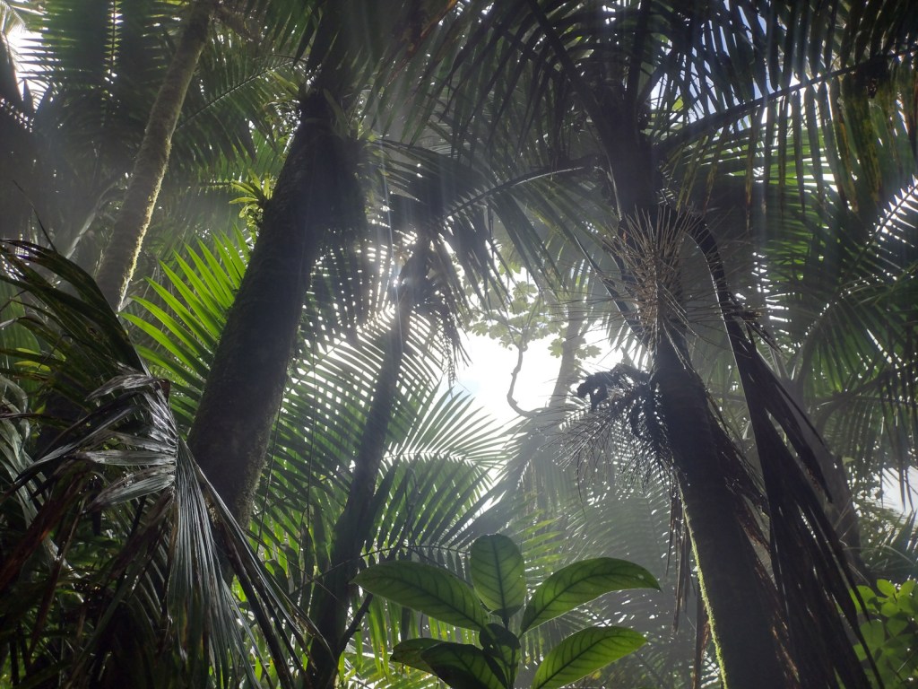
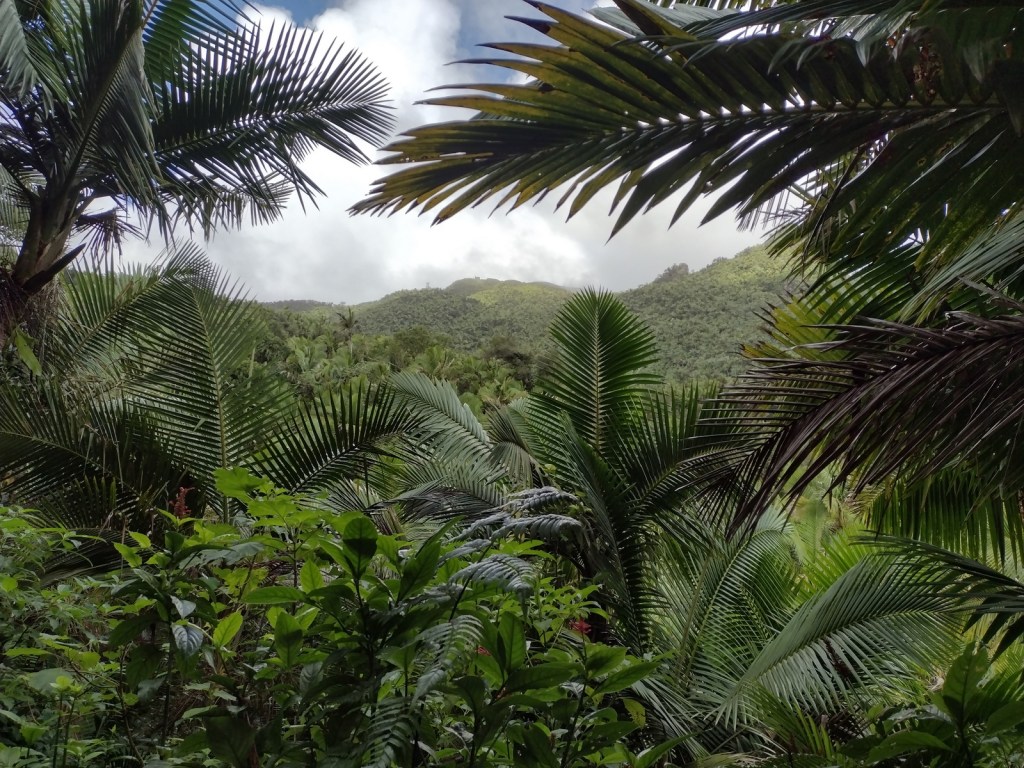
There are at least 15 species of tree ferns that grow in El Yunque National Forest, but we were most impressed by the giant leaves of yagrumo hembra (umbrellatree).

Peak Season

Year round

Fees

Online reservations ($2 fee) required for the Highway 191 corridor

Road Conditions

Highway 191 is well maintained, although winding and narrow in places.  Access to El Toro Trailhead can be either very rough (from the east we needed a Jeep) or very smooth (from the west) depending on which part of Highway 186 you drive.

Camping

There are no campgrounds and it seemed impossible to find a place to set up a backpacking tent in the dense tropical rainforest.  We stayed at an Airbnb in the town of Luquillo, not far from the entrance to El Yunque National Forest.

Wilderness Areas

El Toro Wilderness

Related Sites

San Juan National Historic Site (Puerto Rico)

Virgin Islands Coral Reef National Monument (U.S. Virgin Islands)

Salt River Bay National Historical Park and Ecological Preserve (U.S. Virgin Islands)

Nearest National Park

Virgin Islands

Conifer Tree Species

None

Flowering Tree Species

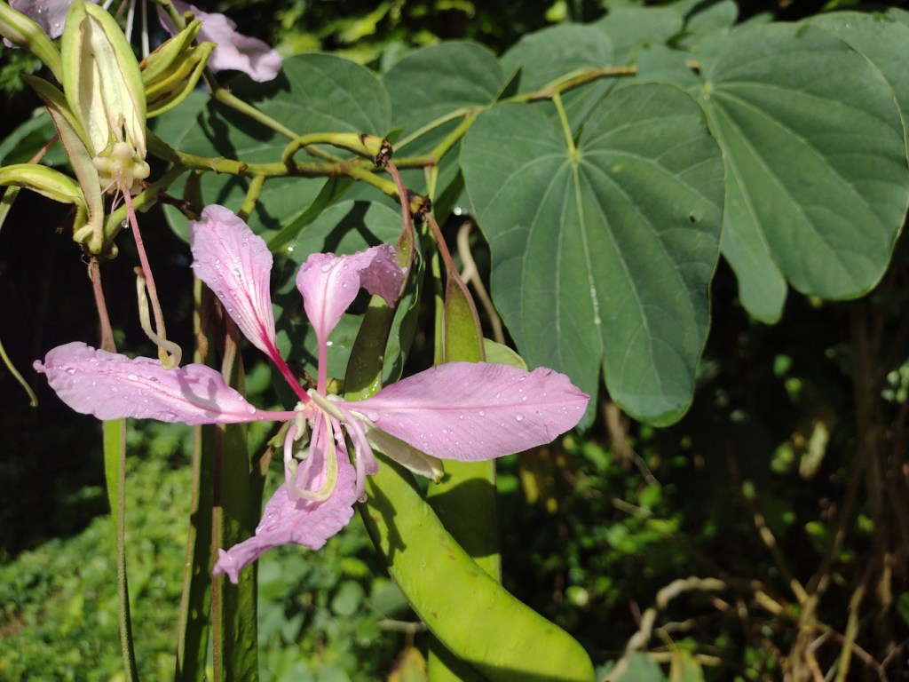
yagrumo hembra (umbrellatree), tabonuco, ausubo, gumbo-limbo, flamboyant (African flame tree), palo colorado (titi), teak, caoba (mahogany), nemoca, roble de sierra, limoncillo, camasey, sierra palm, guayabota

Explore More – What is another name for the cloud forests where strong trade winds above 2,500 feet keep trees pruned to less than 12 feet tall?

Learn more about this and the 154 other National Forests in our new guidebook Out in the Woods
We are a participant in the Amazon Services LLC Associates Program, an affiliate advertising program designed to provide a means for us to earn fees by linking to Amazon.com and affiliated sites.

San Juan National Historic Site

San Juan National Historic Site

Puerto Rico

Managed by National Park Service

Established 1949

75 acres

Website: nps.gov/saju

Overview

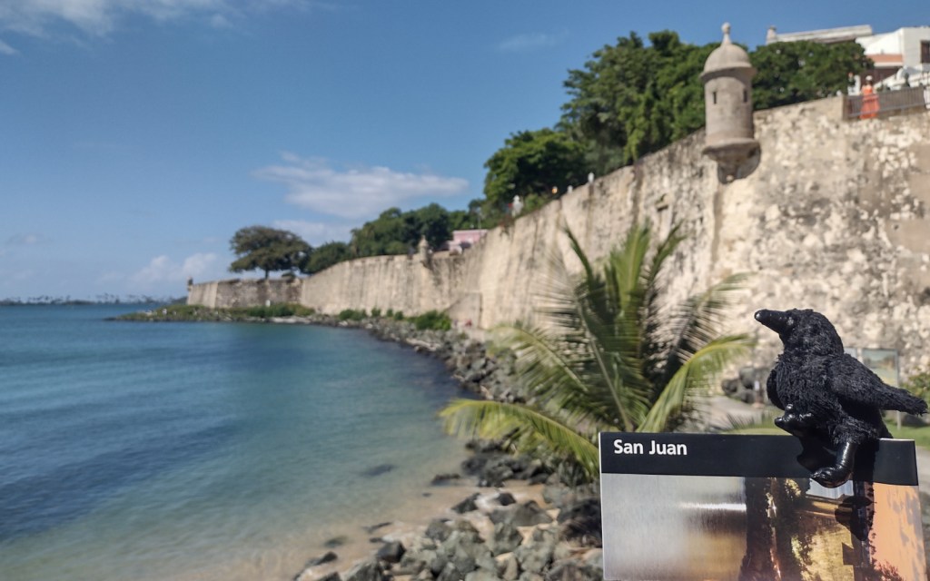
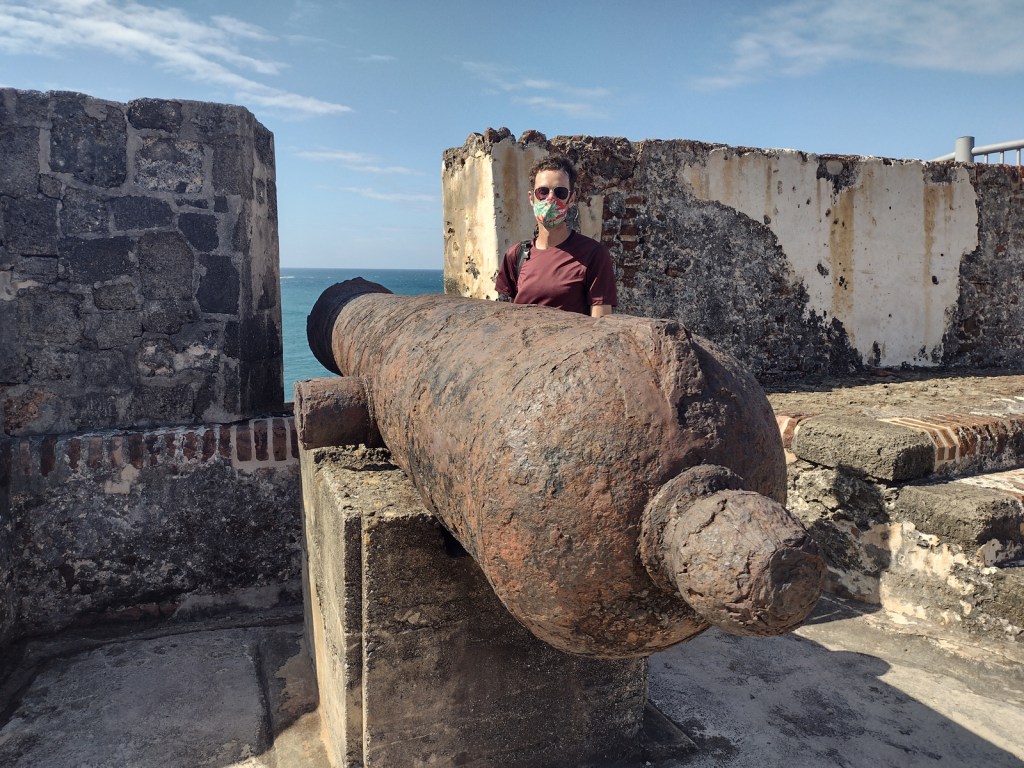
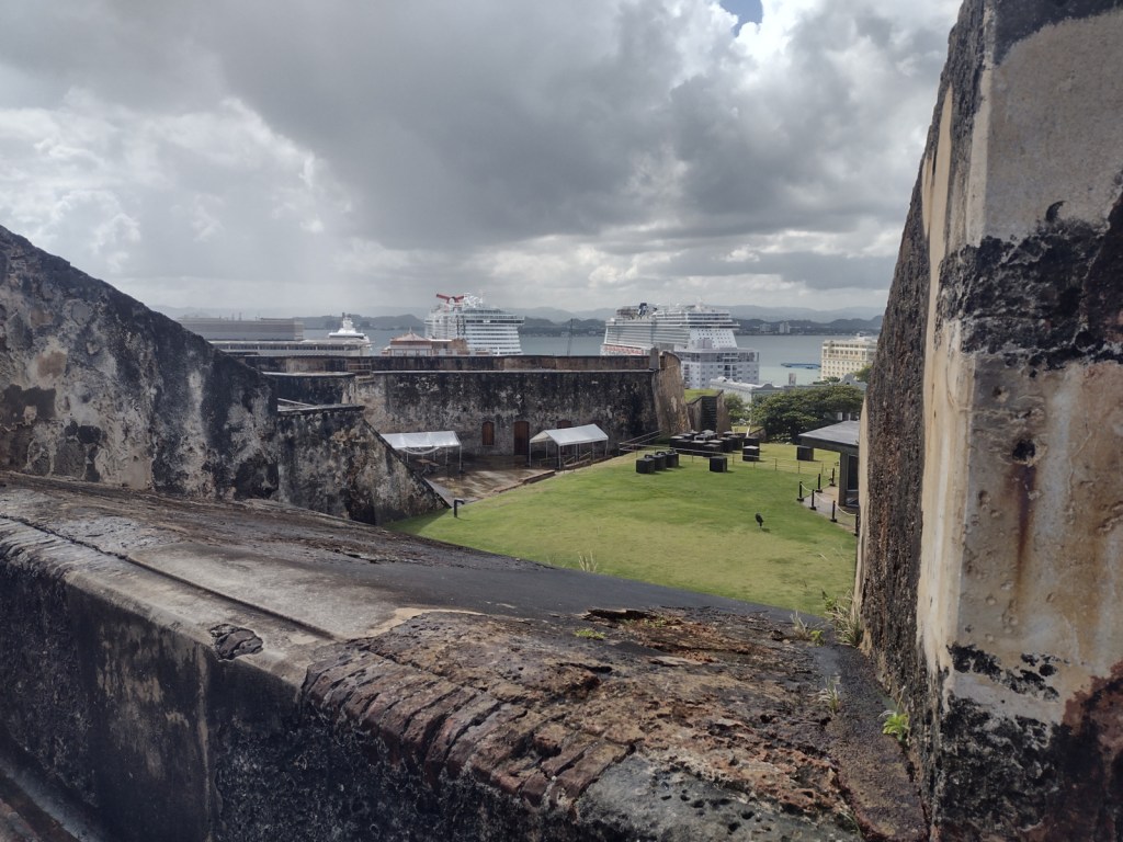
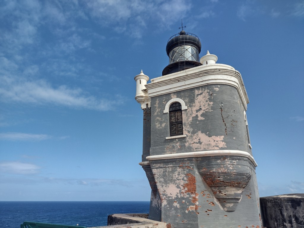
San Juan, Puerto Rico was established in 1509 as a military outpost by Spanish conquistador Juan Ponce de León and 30 years later construction began on the Castillo San Felipe del Morro to guard San Juan Bay.  Starting in 1634, Castillo San Cristóbal was added to the east, eventually becoming the largest fortification built by Europeans in the Americas (covering 27 acres).  The city was captured by the English in 1598, but quickly abandoned due to disease and lack of provisions.  U.S. warships destroyed the fort’s lighthouse during the 1898 Spanish-American War, after which the U.S. seized Puerto Rico and Guam, gained protection over Cuba, and bought the Philippines.  The U.S. military turned over the San Juan forts to the National Park Service in 1961, and 22 years later they were declared a UNESCO World Heritage Site.

Highlights

Castillo San Felipe del Morro (El Morro), Castillo San Cristóbal, Paseo del Morro

Must-Do Activity

It does not matter which fort you start with, but both are unique and worth exploring with plenty of interpretive signs found throughout.  It is about a one-mile walk between the two forts on a sidewalk that follows the wall and bastions protecting the north side of Old San Juan (and providing a great overlook of the Cementerio Maria Magdalena de Pazzis).  Most visitors arrive by cruise ship, so drivers are very aware of pedestrians, and the whole area has sidewalks and crosswalks.

Best Trail

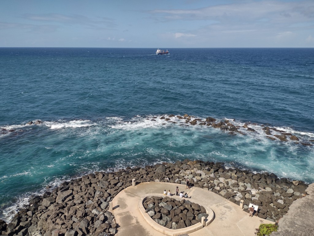
The Paseo del Morro follows the shoreline outside the walls surrounding the western edge of Old San Juan, only accessible from Castillo San Felipe del Morro or further south through the San Juan Gate.  Watch for friendly feral cats, huge orb-weaver spiders, and anole lizards along the paved route.

Instagram-worthy Photo

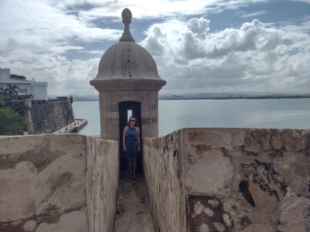
The forts’ sentry boxes (garitas) are the symbol of Old San Juan and all of Puerto Rico, which is why they were featured on the U.S. quarter-dollar coin chosen for the territory in 2009.  It is also the reason we added this park to the list of Top 10 National Park Service License Plates.

Peak Season

Year round

Hours

https://www.nps.gov/saju/planyourvisit/hours.htm

Fees

$10 per person or America the Beautiful pass

Road Conditions

Street parking is always full around the forts, but there is a parking deck with reasonable hourly rates.  The free White Trolley runs between the two forts and the cruise ship piers.

Camping

There are no campgrounds in San Juan, but plenty of other accommodations.  Camping on the island of Puerto Rico is permitted at Bosque Estatal de Cambalache, Bosque Estatal de Río Abajo, and Reserva Forestal de Carite.

Related Sites

Castillo de San Marcos National Monument (Florida)

Christiansted National Historic Site (U.S. Virgin Islands)

El Yunque National Forest (Puerto Rico)

Explore More – Who was the Irish-born engineer who designed Castillo San Cristóbal, because Spain and Ireland were both enemies of England?

Dixie National Forest

Dixie National Forest

Utah

Managed by U.S. Forest Service, Intermountain Region

1,967,165 acres (1,889,127 federal/ 78,038 other)

Website: https://www.fs.usda.gov/dixie

Overview

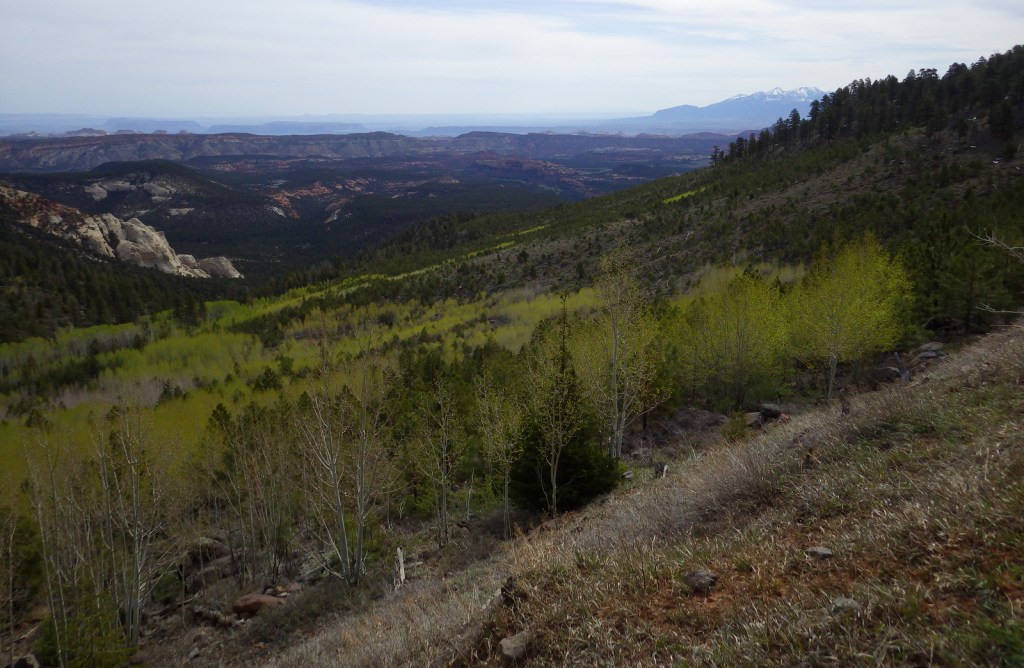
Dixie National Forest is spread across southwest Utah surrounding Cedar Breaks National Monument and near three National Parks: Bryce Canyon, Capitol Reef, and Zion.  The National Forest has a wide elevation range from 2,800 feet near St. George to 11,322 feet on Boulder Mountain.  The change in average temperature and precipitation leads to wide variety of ecosystems from a desert-like environment all the way up to subalpine conifer forests and tundra.  The warmth of southern Utah reminded some early emigrants of “Dixie,” the part of the U.S. south of the Mason-Dixon Line, but with growing public distaste for that name it may be changed in the future.

Highlights

Markagunt National Scenic Byway, Brian Head, Navajo Lake, Cascade Falls, Strawberry Point, Red Canyon Recreation Area, Honeycomb Rocks, Powell Point, Hell’s Backbone Bridge, Virgin River Rim Trail, Hancock Peak Trail, Whipple Trail, Casto Canyon Trail

Must-Do Activity

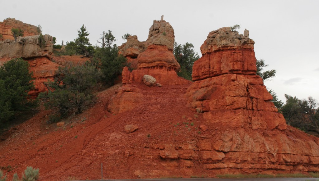
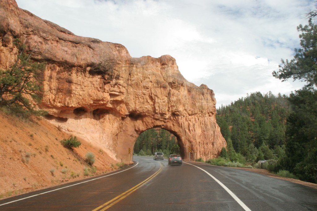
Highway 12 Scenic Byway winds through much of the National Forest, including Red Canyon Recreation Area where the popular Casto Canyon Trail is open to hikers, bicycles, horses, and ATVs.  The mountain ranges west of Interstate 15 are a less-visited section of the forest, with numerous trails traversing the Pine Valley Mountains Wilderness, including the 35-mile Summit Trail.

Best Trail

Leaving from a trailhead across Highway 143 from the road to the top of 11,312-foot-tall Brian Head, Rattlesnake Creek Trail skirts the edge of spectacular Cedar Breaks National Monument and enters the Ashdown Gorge Wilderness (established in 1984).  About one mile in, one of several side trails leads off to the left for an overlook of the Cedar Breaks, a red rock badlands full of hoodoos situated at the edge of the Markagunt Plateau.  Gnarled Great Basin bristlecone pine trees cling to the eroding edge of the natural amphitheater, making a great foreground for photographs with a beautiful backdrop.  The trail continues to drop more than 2,400 feet to the canyon bottom over four miles connecting with Ashdown Creek which eventually crosses Highway 14, but there is not an official trailhead there.

Watchable Wildlife

A variety of mammals call Dixie National Forest home: black bears, mountain lions, bobcats, coyotes, three species of foxes, minks, pine martens, porcupines, beavers, raccoons, skunks, badgers, snowshoe hares, pika, mountain goats, bighorn sheep, elk, mule deer, and pronghorns.  Large birds include bald eagles, golden eagles, California condors, turkey vultures, wild turkeys, and various species of woodpeckers.  There are many gamefish found in the streams and small lakes spread across the high-elevation Markagunt, Paunsaugunt, and Aquarius Plateaus.

Instagram-worthy Photo

South of Torrey, Highway 12 climbs into an aspen forest with incredible views of Capitol Reef National Park and Waterpocket Fold.

Peak Season

Late summer

Fees

None

Road Conditions

Highway 12 and Highway 143 are paved roads that access the high elevations of Dixie National Forest, but they may be closed seasonally due to snow.  There are numerous dirt roads that traverse the area, including the popular route to the top of 11,312-foot-tall Brian Head.

Camping

There are numerous campgrounds located throughout the National Forest, as well as dispersed camping opportunities on dirt roads west of Bryce Canyon National Park.

Wilderness Areas

Ashdown Gorge Wilderness

Box-Death Hollow Wilderness

Cottonwood Forest Wilderness

Pine Valley Mountains Wilderness

Related Sites

Cedar Breaks National Monument (Utah)

Grand Staircase-Escalante National Monument (Utah)

Capitol Reef National Park (Utah)

Nearest National Park

Bryce Canyon

Conifer Tree Species

Utah juniper, singleleaf pinyon pine, ponderosa pine, Douglas-fir, Engelmann spruce, subalpine fir, Great Basin bristlecone pine

Flowering Tree Species

quaking aspen, Bebb willow

Explore More – On the Markagunt Plateau, Navajo Lake drains out of two lava tubes that formed how many millions of years ago?

Learn more about this and the 154 other National Forests in our new guidebook Out in the Woods
We are a participant in the Amazon Services LLC Associates Program, an affiliate advertising program designed to provide a means for us to earn fees by linking to Amazon.com and affiliated sites.

Zion National Park

Zion National Park

Utah

Managed by National Park Service

Established 1909 National Monument, 1919 National Park

146,598 acres

Website: nps.gov/zion

Overview

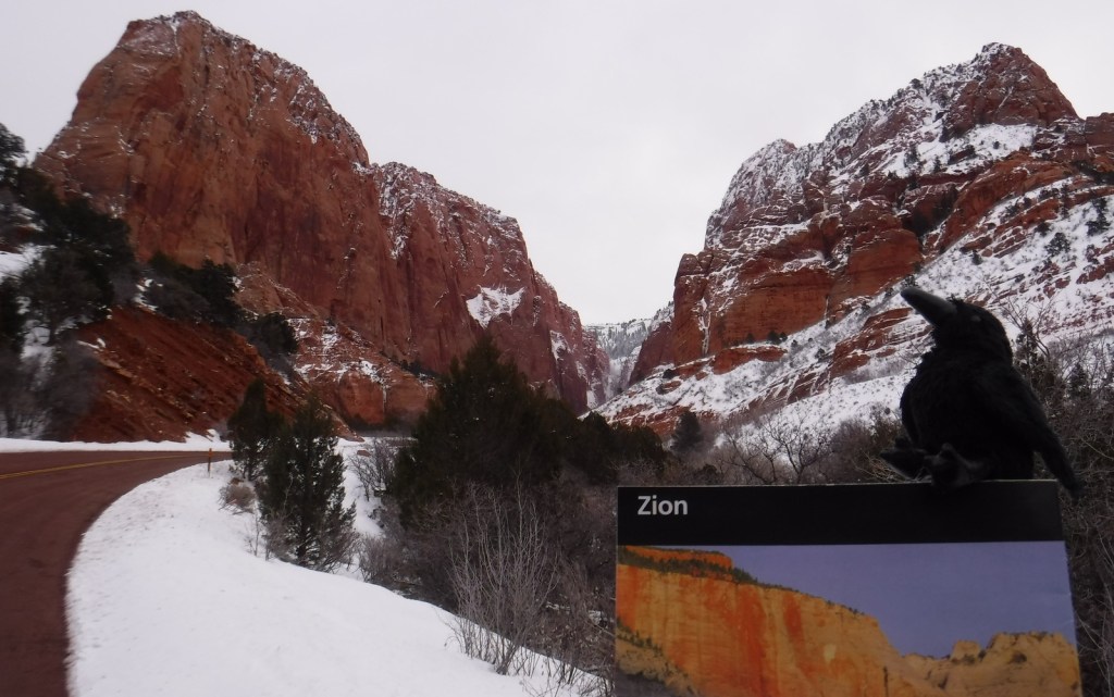
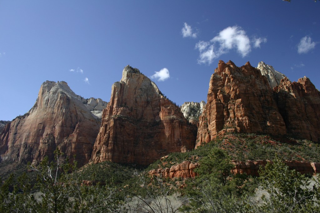
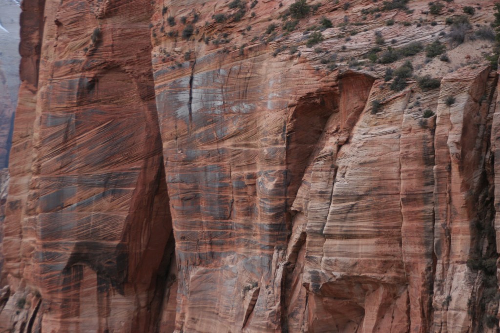
Zion National Park protects an outstanding canyon where steep sandstone walls up to 3,000 feet high appear to glow at sunrise and sunset.  Views are great from the road along the North Fork of the Virgin River, but to really get a sense of scale here you have to hike uphill on one of many trails.  Check out a new film on the park here: https://zionpark.org/wethekeepers/

Learn more in our guidebook to the National Parks, A Park to Yourself: Finding Adventure in America’s National Parks (available on Amazon).

Highlights

Kolob Canyons, The Narrows, Emerald Pools, Weeping Rock, Observation Point, The Subway, Angels Landing, Canyon Overlook Trail

Must-Do Activity

Kolob Canyons is in the northern section of the park located just off Interstate 15, where a short drive leaves the road noise behind and opens up a world of red rock beauty.  There are no campgrounds in this area of the park, so we picked up a backpacking permit at the visitor center to spend the night near Timber Creek.  The flowing water meant croaking frogs and toads provided a chorus throughout the night.  This site provided a good jumping off point for the La Verkin Creek Trail which travels 7.5 miles one-way to Kolob Arch.  At 310 feet across, this arch is one of the biggest in the world, but you cannot get nearly as close to it as you can to those at Arches National Park.  Hiking anywhere in Kolob Canyons is much less busy than other parts of Zion National Park, but the trails can be snow covered in the winter (when the access road sometimes closes).
Best Trail

The Narrows, Angels Landing, and The Subway are hiking destinations known around the world, and their popularity means they each require a reservation.  Wading upriver through the frigid water of the Narrows, where the canyon pinches to only 18 feet wide in places, is an essential experience open to all visitors for the first five miles to Big Spring.  The busy 5.4-mile out-and-back trail to Angels Landing is not for the faint of heart as it follows a knife-edge route with chains mounted in places.  But it is worth the effort, even if you just make it to the saddle at the end of Walter’s Wiggles, perhaps the world’s most famous trail switchbacks.

Instagram-worthy Photo

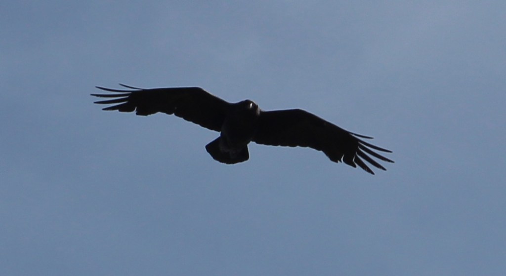
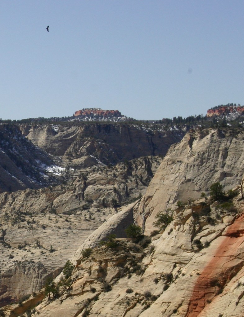
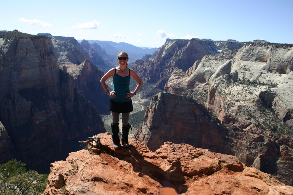
We watched a huge California condor flying over Zion Canyon from Observation Point, a popular eight-mile out-and-back hike that leaves from the same trailhead as Weeping Rock.

Peak Season

Spring and fall

Hours

https://nps.gov/zion/planyourvisit/hours.htm

Fees

$35 per vehicle or America the Beautiful pass

Road Conditions

The main roads into Kolob Canyons and Zion Canyon are paved, but a free shuttle bus is required to enter the dead end Zion Canyon Scenic Drive from 7 a.m. to 7 p.m. daily from March to November (click here for more shuttle information).  There is an extra fee for large RVs to use the Zion-Mount Carmel Tunnel, since they require a pilot car and the road must be shut down to one-way traffic only.

Camping

There is not a campground in Kolob Canyons, but in Zion Canyon you can wake up to an awesome morning view in sprawling Watchman or South Campgrounds.  Lava Point Campground is located down the long, unpaved Kolob Terrace Road and is closed in the winter.  Dispersed camping is allowed by the Bureau of Land Management outside park boundaries, but it can be hard to find an open spot.

Related Sites

Bryce Canyon National Park (Utah)

Cedar Breaks National Monument (Utah)

Dixie National Forest (Utah)

Explore More – Walter’s Wiggles may be the world’s most famous trail switchbacks, so who are they named after?

This design we created to celebrate Zion National Park is available on a variety of products at Cafe Press and Amazon.

Explore More – Walter’s Wiggles may be the world’s most famous trail switchbacks, so who are they named after?

We are a participant in the Amazon Services LLC Associates Program, an affiliate advertising program designed to provide a means for us to earn fees by linking to Amazon.com and affiliated sites.