All posts by Raven About The Parks

Home of Franklin D. Roosevelt National Historic Site

Home of Franklin D. Roosevelt National Historic Site

New York

Managed by National Park Service

Established 1944

645 acres

Website: nps.gov/hofr

Overview

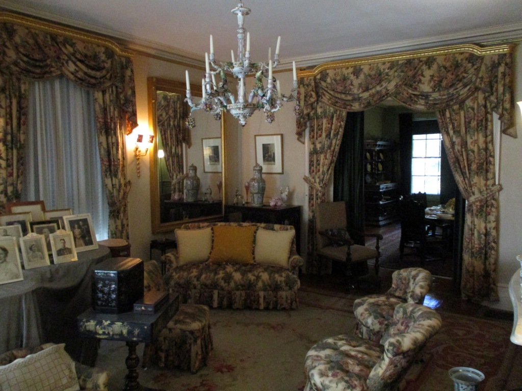
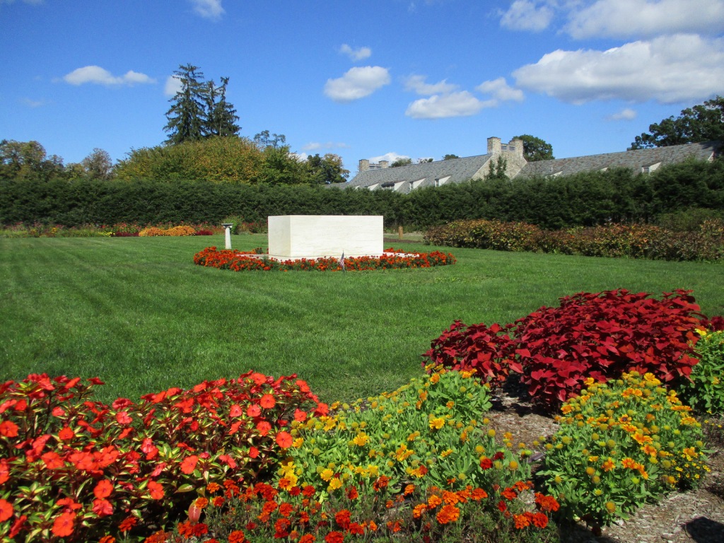
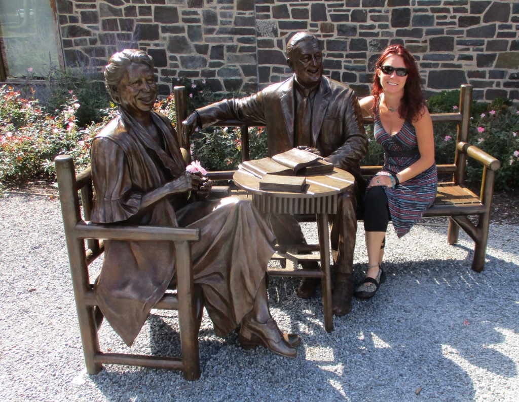
In 1882, Franklin Delano Roosevelt (FDR) was born at Springwood, his family’s estate on the Hudson River in Hyde Park, New York.  In 1905, FDR married his distant cousin Eleanor and moved into the mansion with his mother.  FDR contracted polio in 1921 and was paralyzed from the waist down, so some changes were made to Springwood to make it more wheelchair accessible.  After FDR became President, noteworthy visitors to the house included England’s King George VI and Winston Churchill.  FDR was buried on the property in 1945 and Eleanor in 1962, in the rose garden alongside Fala, their famous Scottish terrier.  Exactly one year after his death, the mansion opened to the public.

Highlights

Springwood, FDR Presidential Library and Museum, Top Cottage, Hyde Park Trail

Must-Do Activity

Start your visit at the Henry A. Wallace Visitor and Education Center where you can purchase tickets for the tour inside the mansion (reservations recommended), the 22-minute film A Rendezvous With History, the Presidential Library and Museum (not managed by the National Park Service), and Top Cottage, which is located behind the nearby Eleanor Roosevelt National Historic Site.  Tours meet inside the visitor center then walk a quarter-mile to the mansion.  Top Cottage was built in 1938 and is only accessible on a guided tour in the summer, which a park ranger discouraged us from going on saying it was mostly a seminar-style discussion of world politics (Top Cottage tours were closed through at least 2022). 
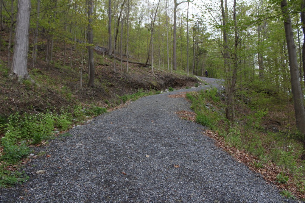
Best Trail

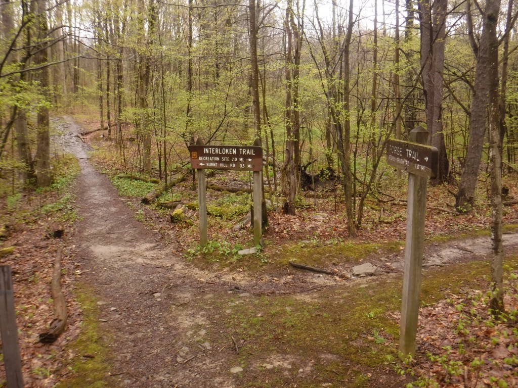
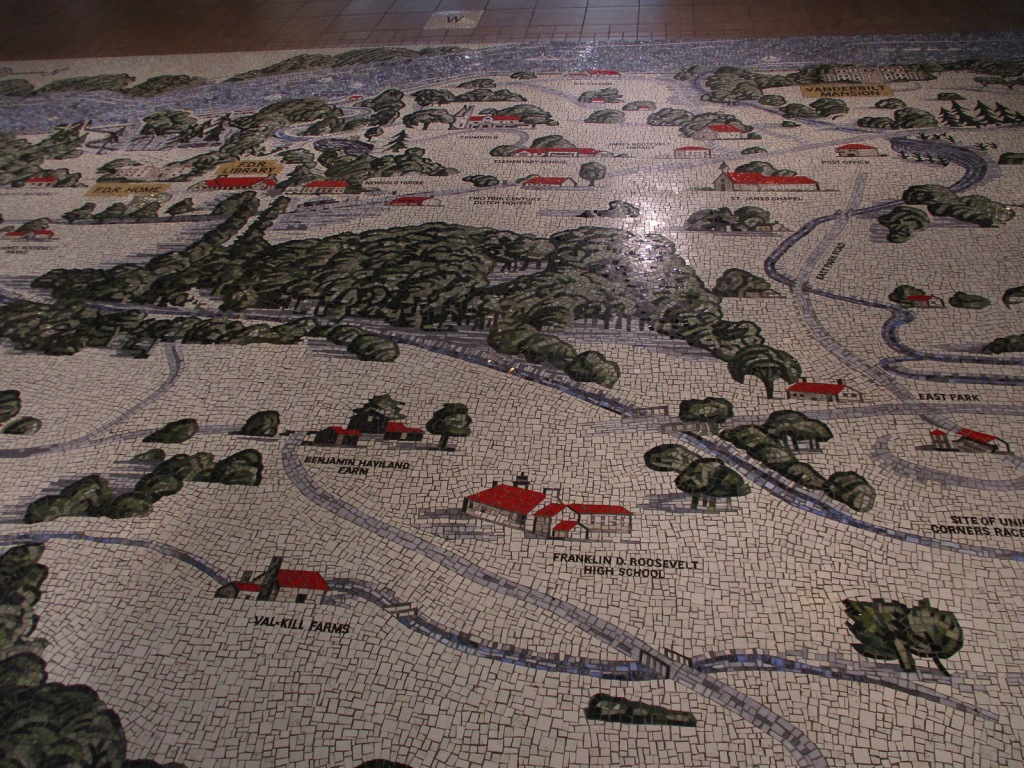
Hyde Park Trail connects Vanderbilt Mansion National Historic Site with Home of Franklin D. Roosevelt National Historic Site following the Hudson River.  The trail then heads two miles east towards Eleanor Roosevelt National Historic Site and Top Cottage.

Instagram-worthy Photo

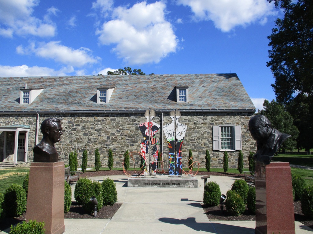
Freedom From Fear is a sculpture of a man and woman made from a section of the Berlin Wall, installed here in 1994 with a companion piece at the Winston Churchill Memorial in Fulton, Missouri.  Both were created by Edwina Sandys, Churchill’s granddaughter.

Peak Season

Summer

Hours

https://www.nps.gov/hofr/planyourvisit/hours.htm

Fees

$10 per person for mansion tour or free with America the Beautiful pass; $10 per person for Top Cottage tour with $5 off for America the Beautiful pass; separate entry fee for FDR Presidential Library and Museum

Road Conditions

All roads are paved with ample parking.
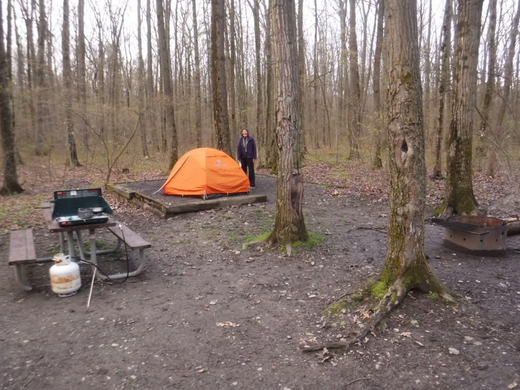
Camping

Mills-Norrie State Park has 45 campsites about five miles north of Hyde Park on Highway 9.

Related Sites

Franklin Delano Roosevelt Memorial (District of Columbia)

Eleanor Roosevelt National Historic Site (New York)

Martin Van Buren National Historic Site (New York)

Explore More – In what year was there an assassination attempt on FDR?

Finger Lakes National Forest

Finger Lakes National Forest

New York

Managed by U.S. Forest Service, Eastern Region

16,259 acres (16,259 federal/ 0 other)

Website: https://www.fs.usda.gov/main/gmfl/home

Overview

America’s newest National Forest was formally established in 1985.  Its existence is the result of the federal government purchasing abandoned farmland in the 1930s on the Backbone Ridge between Seneca and Cayuga Lakes.  Management shifted from the Soil Conservation Service to the Forest Service in 1954, but it did not become Finger Lakes National Forest for another 30 years.  According to Iroquois legend, the Finger Lakes were formed when the Great Spirit laid hands on the land to bless it and the finger imprints filled with water.  Visitors come for hiking and bird watching, and, in addition, two acres next to Blueberry Patch Campground are managed for blueberry picking in the late summer.

Highlights

Camp Fossenvue, Seneca Lake, Blueberry Patch Recreation Site, Backbone Trail, Gorge Trail, Interlocken Trail, No Tan Takto Trail, Burnt Hill Trail, North Country National Scenic Trail

Must-Do Activity

Although it is the second smallest National Forest in the U.S., Finger Lakes National Forest has 38 miles of trails (including a spur of the North Country National Scenic Trail).  In 1996, the former Camp Fossenvue at Caywood Point on the shores of Seneca Lake was given to the National Forest.  The camp was founded in 1875 by seven women and was considered radical for its time by allowing women to engage in outdoor recreation and inviting notable suffragettes like Susan B. Anthony.  The Boy Scouts purchased the property in 1924 and later sold it to the Trust for Public Land.  The lake is accessed from the parking lot off State Route 414 by walking down a steep, half-mile-long gravel road with a 30% grade in places. 

Best Trail

The Gorge Trail is three miles out-and-back between trailheads on Burnt Hill Road and Mark Smith Road, crossing the Backbone Ridge.  The hike follows a pretty creek through a second growth forest of eastern hemlocks and various hardwood trees to access the Gorge Ponds and the 12-mile long Interlocken Trail, which is popular with cross-country skiers in the winter.  On a rainy afternoon in May, we saw several red newts on the trail and a mix of wildflowers, such as May-apples.

Watchable Wildlife

The first red newts we had ever seen were on the Gorge Trail, crawling through the duff on a rainy May afternoon.  These bright-orange amphibians are hard to miss among the green plants and brown decaying organic matter, but watch your step as they were right in the middle of the trail.  Finger Lakes National Forest also has white-tailed deer, gray squirrels, raccoons, coyotes, and bobcats, as well as 160 species of birds.  There are blueberry patches and old fruit tree orchards within the forest, which are good places to look for foraging animals.  Seneca Lake reaches 630 feet in depth and is home to many types of gamefish.

Instagram-worthy Photo

The sole remaining cabin at Camp Fossenvue is named the “Queen’s Castle” for Elizabeth Smith Miller, but no entry is permitted to the structure built in 1899 and placed on the National Register of Historic Places a century later.

Peak Season

Summer

Fees

None

Road Conditions

There are several unpaved roads in the National Forest, including Burnt Hill Road and Mark Smith Road, but we found all of them to be in good condition.

Camping

On Backbone Ridge, Blueberry Patch Campground is developed for vehicles under 24 feet in length and offers vault toilets.  Nearby, the Backbone Horse Campground has five campsites for horse trailers and six additional sites for all users.  Free dispersed camping is allowed throughout the forest (except in pastures from May 15 to October 31 due to cattle grazing) with one shelter available at the south end of the Interloken Trail. 

Wilderness Areas

None

Related Sites

Women’s Rights National Historical Park (New York)

Harriet Tubman National Historical Park (New York)

Home of Franklin D. Roosevelt National Historic Site (New York)

Nearest National Park

Cuyahoga Valley

Conifer Tree Species

eastern hemlock, eastern white pine

Flowering Tree Species

northern red oak, shagbark hickory, black walnut, witch-hazel, sugar maple, white ash, yellow birch, gray dogwood, black willow, elderberry, azalea

Explore More – Fossenvue is an anagram of what three-word phrase?

Learn more about this and the 154 other National Forests in our new guidebook Out in the Woods

We are a participant in the Amazon Services LLC Associates Program, an affiliate advertising program designed to provide a means for us to earn fees by linking to Amazon.com and affiliated sites.

Eldorado National Forest

Eldorado National Forest

California, Nevada

Managed by U.S. Forest Service, Pacific Southwest Region

887,721 acres (686,667 federal/ 201,054 other)

Website: https://www.fs.usda.gov/eldorado

Overview

Located in California’s Sierra Nevada, Eldorado National Forest has ghost towns dating back to the 1849 gold rush.  El Dorado is Spanish for “the golden one,” which often referred to the fabled Lost City of Gold sought by the Conquistadors.  The single-word spelling Eldorado may have been a clerical error dating back to the creation of the National Forest in 1910.  Elevations range from 1,000 feet in the foothills to more than 10,000 feet in the Sierra Nevada.  In addition to 297 lakes and reservoirs, it contains 611 miles of fishable streams in the drainages of the North Fork of the Mokelumne River, Cosumnes River, and the Middle and South Forks of the American River.  There are 349 miles of trails in Eldorado National Forest, including a portion of the Pacific Crest National Scenic Trail that follows mountain ridges on the west side of Lake Tahoe.

Highlights

Carson Pass Scenic Highway, Lake Tahoe Basin Management Unit, Tallac Historic Site, Caldor Auto Tour, Silver Lake, Crystal Basin Recreation Area, Loon Lake, Ice House Reservoir, Traverse Creek, Horsetail Falls, Fourth of July Lake, Cascade Falls Loop Trail, Pacific Crest National Scenic Trail

Must-Do Activity

The Forest Service’s Lake Tahoe Basin Management Unit is composed of 150,000 acres of Eldorado, Tahoe, and Toiyabe National Forests surrounding Lake Tahoe.  It was established in 1973 to preserve and restore the ecosystem of one of the nation’s most popular playgrounds.  Averaging 1,000 feet in depth, Lake Tahoe is famous for its water clarity and, although it has no outlet to the ocean, it is dammed on the Truckee River to control water levels.  After the 1858 discovery of the Comstock Lode in nearby Virginia City, Nevada, extensive deforestation occurred around the lake.  This eventually led to conservation efforts to place 78% of its watershed into National Forests starting in 1899.  Hiking trails uphill from the lake’s shoreline (mostly privately owned) are almost entirely within National Forests, including the circumnavigating Tahoe Rim Trail.

Best Trail

Near the National Forest’s border with Lake Tahoe, the 63,960-acre Desolation Wilderness is the country’s most visited Wilderness area on a per acre basis.  With the exception of thru-hikers on the Tahoe Rim and Pacific Crest Trails, a daily quota limits the number of backpackers in the Desolation Wilderness.  Even day hikers are required to carry a permit and a bear box is recommended for all overnight users.  We took a smoke-obscured hike five miles one-way from Lower Echo Lake up to Lake Aloha in the Desolation Wilderness, a popular stop for backpackers.

Watchable Wildlife

A Mediterranean climate exists in the lower elevation ranges of the National Forest, while alpine regions can receive more than 15 feet of snowfall, so there is a wide diversity of wildlife.  In the conifer forests of the Sierra Nevada look for mule deer, black bears, weasels, martens, mountain lions, and bobcats.  California quail, mountain quail, sooty grouse, and wild turkeys are common game birds.  Watch the skies for raptors like bald eagles, ospreys, red-tailed hawks, and turkey vultures. 

Instagram-worthy Photo

By the time we visited in mid-August, Cascade Falls was barely a trickle compared to its raging snowmelt flow in the springtime.  The strenuous one-mile hike from Bayview Trailhead was still worth the effort for the sweeping views of Cascade Lake and Lake Tahoe’s Emerald Bay (at least when it is not so smoky). 

Peak Season

Summer

Fees

None

Road Conditions

Eldorado National Forest has 2,367 miles (3,809 km) of roads, including 400 miles of private roads.  Many of these are rough and unpaved and may require high-clearance or four-wheel drive, especially the infamous Rubicon Trail on the western shore of Lake Tahoe.

Camping

Bayview Campground is located across Highway 89 from Lake Tahoe at the Bayview Trailhead near scenic Eagle Falls and Emerald Bay State Park.  Woods Lake has a campground and a 3.5-mile trail to Fourth of July Lake, plus there are campgrounds at Fallen Leaf Lake, Ice House Reservoir, Loon Lake, Upper Valley Reservoir, and Silver Lake.

Wilderness Areas

Desolation Wilderness

Mokelumne Wilderness (also in Stanislaus and Toiyabe National Forests)

Related Sites

Devils Postpile National Monument (California)

Whiskeytown-Shasta-Trinity National Recreation Area (California)

Rosie the Riveter/World War II Home Front National Historical Park (California)

Nearest National Park

Yosemite

Conifer Tree Species

red fir, white fir, Douglas-fir, incense-cedar, ponderosa pine, lodgepole pine, Jeffrey pine, gray pine, sugar pine, foxtail pine, western juniper

Flowering Tree Species

Pacific dogwood, California buckeye, manzanita

Explore More – Traverse Creek near Placerville is known for its exposed serpentine rock, which contains what elements toxic to many trees and plants?

Learn more about this and the 154 other National Forests in our new guidebook Out in the Woods

We are a participant in the Amazon Services LLC Associates Program, an affiliate advertising program designed to provide a means for us to earn fees by linking to Amazon.com and affiliated sites.

Top 10 Day Hiking Trails in National Forests

This was a difficult Top 10 list to pick since there are so many great hiking options in America’s 155 National Forests.  We realized some of our favorite trails were already included in our Top 10 National Forests for Backpacking, although Gila National Forest made it on both lists for different trails.  We also discovered we could make an entire list of Top 10 Summit Trails in National Forests, so check that out too.  Click here to see all of our Top 10 Lists.

10. Devil’s Head National Recreation Trail

Pike National Forest (Colorado)

At the end of this trail, an amazing fire lookout tower awaits surrounded by giant boulders (similar to The Crags, a 2.5-mile one-way trail near Cripple Creek)

9. Methuselah Grove Loop

Inyo National Forest (California)

High up in the remote White Mountains, a 4.5-mile loop passes Great Basin bristlecone pine trees that are thousands of years old and offers awesome views of the Owens Valley and Mt. Whitney

8. Rattlesnake Creek Trail

Dixie National Forest (Utah)

Skirts the edge of spectacular Cedar Breaks National Monument, a red rock badlands full of hoodoos where Great Basin bristlecone pine trees cling to the eroding edge

7. The Catwalk National Recreation Trail

Gila National Forest (New Mexico)

The first mile is partially elevated above raging Whitewater Creek on wide, steel grates complete with handrails and interpretive signs

6. Seneca Rocks Trail

Monongahela National Forest (West Virginia)

Seneca Rocks is very popular with rock climbers, but hikers can access the narrow rock ledge via a steep 1.3-mile one-way trail

5. Abineau Canyon Trail

Coconino National Forest (Arizona)

Sedona is full of scenic trails, but our favorite trail is north of Flagstaff in the San Francisco Peaks (especially when the quaking aspen leaves turn in October)

4. Crag Crest National Recreation Trail

Grand Mesa National Forest (Colorado)

It can be hiked as a 10.3-mile loop from two trailheads, but the crest portion of the hike is the highlight as it follows a narrow ridge of volcanic rock that offers spectacular views

3. Joyce Kilmer National Recreation Trail

Nantahala National Forest (North Carolina)

The tulip-poplars and other giant trees protected in this old-growth cove hardwood forest are spectacular

2. Trail of 100 Giants

Sequoia National Forest (California)

A short, paved trail past giant sequoias in the Longwood Meadow Grove (nearby, we highly recommend the 4.7-mile hike that climbs 698-feet to Buck Rock Lookout, arguably the nation’s most stunning location for a fire lookout tower)

…and finally our #1 day hiking trail in a National Forest:

1. Maple Pass Loop

Okanogan National Forest (Washington)

An 8.5-mile loop that switchbacks up more than 2,000 feet past Lake Ann to spectacular Maple Pass (the counter-clockwise route is less steep)

.

Honorable Mentions

Rock Bridge Trail

Daniel Boone National Forest (Kentucky)

All of the trails in Red River Gorge Geological Area are great, with sandstone arches and overlooks as destinations

Wind Cave Trail

Cache National Forest (Utah)

There are canyon views the entire way as this 3.6-mile out-and-back trail gains more than 900 feet in elevation to the limestone arches of Wind Cave

Lake Ann Trail

Mt. Baker National Forest (Washington)

Often snow-packed well into July, this 4.2-mile one-way trail to Lake Ann offers unsurpassed views of Mt. Baker and Mt. Shuksan on clear days

Peralta Trail

Tonto National Forest (Arizona)

Due to its proximity to Phoenix, Peralta Trail is often packed with hikers (as is Siphon Draw Trail, another favorite hike that gains 2,781 feet of elevation to the Flatiron)

We have included our favorite hiking trail for each of the 155 National Forests in our travel guidebook Out in the Woods

El Yunque National Forest

El Yunque National Forest

Puerto Rico (U.S. territory)

Managed by U.S. Forest Service, Southern Region

56,097 acres (28,434 federal/ 27,663 other)

Website: https://www.fs.usda.gov/elyunque

Overview

Also called Bosque Nacional El Yunque, this forest was known as the Caribbean National Forest from 1935 until 2007 when it was renamed for a 3,496-foot peak.  It is the only tropical rainforest and the oldest protected forest in the U.S. Forest Service system, originally set aside in 1876 by King Alfonso XII of Spain.  Puerto Rico is still recovering from Hurricane Maria that struck September 20, 2017, and the Forest Service’s El Portal Rainforest Visitor Center remains closed while under reconstruction.

Highlights

El Portal Rainforest Visitor Center, La Coca Falls, Juan Diego Creek, Yokahú Observation Tower, Baño de Oro, Mt. Britton, El Yunque Trail, El Toro National Recreation Trail

Must-Do Activity

Unlike other national forests, El Yunque is a major tourist destination in Puerto Rico with buses bringing cruise ship passengers up the Sierra de Luquillo Mountains less than an hour’s drive from the capital of San Juan.  They all stop at La Coca Falls and Yokahu Observation Tower, but fewer visitors hike to the top of 3,496-foot El Yunque or Mt. Britton.  Enough people visit that the Forest Service instituted an online reservation system (fee required) similar to the one at Rocky Mountain National Park.

Best Trail

Every step squished and our feet often disappeared in ankle-deep, orange-brown mud on the five-mile out-and-back El Toro National Recreation Trail.  Glad to have walking sticks, we stepped carefully as we slowly approached the summit of the 3,526-foot mountain.  Average annual precipitation in these “cloud forests” is 150 to 240 inches and poor water runoff from the volcanic soils results in boggy, acidic conditions.  In 2005, the 10,000-acre El Toro Wilderness became the first Wilderness designation in a U.S. territory.

Watchable Wildlife

Bird watching is the main attraction, and we spotted a Puerto Rican tody, elfin woods warbler, broad-winged hawk, red-tailed hawk, and many zenaida doves.  We never saw one, but when the sun set or it rained we enjoyed listening to the coquis, small tree frogs whose name is onomatopoeia for their call.  There are 17 species of coqui in Puerto Rico (11 of them endemic) but only the forest and common coquis emit their namesake sound.  Rather than going through a tadpole phase, all coqui emerge as miniature froglets after incubation.  Even though this is a tropical rainforest, there are no poisonous snakes on the island, but the endangered Puerto Rican boa can grow up to eight feet in length.  Another endangered species, the Puerto Rican parrot may only survive in captivity after Hurricane Maria.

Instagram-worthy Photo

There are at least 15 species of tree ferns that grow in El Yunque National Forest, but we were most impressed by the giant leaves of yagrumo hembra (umbrellatree).

Peak Season

Year round

Fees

Online reservations ($2 fee) required for the Highway 191 corridor

Road Conditions

Highway 191 is well maintained, although winding and narrow in places.  Access to El Toro Trailhead can be either very rough (from the east we needed a Jeep) or very smooth (from the west) depending on which part of Highway 186 you drive.

Camping

There are no campgrounds and it seemed impossible to find a place to set up a backpacking tent in the dense tropical rainforest.  We stayed at an Airbnb in the town of Luquillo, not far from the entrance to El Yunque National Forest.

Wilderness Areas

El Toro Wilderness

Related Sites

San Juan National Historic Site (Puerto Rico)

Virgin Islands Coral Reef National Monument (U.S. Virgin Islands)

Salt River Bay National Historical Park and Ecological Preserve (U.S. Virgin Islands)

Nearest National Park

Virgin Islands

Conifer Tree Species

None

Flowering Tree Species

yagrumo hembra (umbrellatree), tabonuco, ausubo, gumbo-limbo, flamboyant (African flame tree), palo colorado (titi), teak, caoba (mahogany), nemoca, roble de sierra, limoncillo, camasey, sierra palm, guayabota

Explore More – What is another name for the cloud forests where strong trade winds above 2,500 feet keep trees pruned to less than 12 feet tall?

Learn more about this and the 154 other National Forests in our new guidebook Out in the Woods

We are a participant in the Amazon Services LLC Associates Program, an affiliate advertising program designed to provide a means for us to earn fees by linking to Amazon.com and affiliated sites.