Medgar and Myrlie Evers Home National Monument
Mississippi
Managed by National Park Service
Established 2019
0.74 acres
Website: nps.gov/memy
Overview
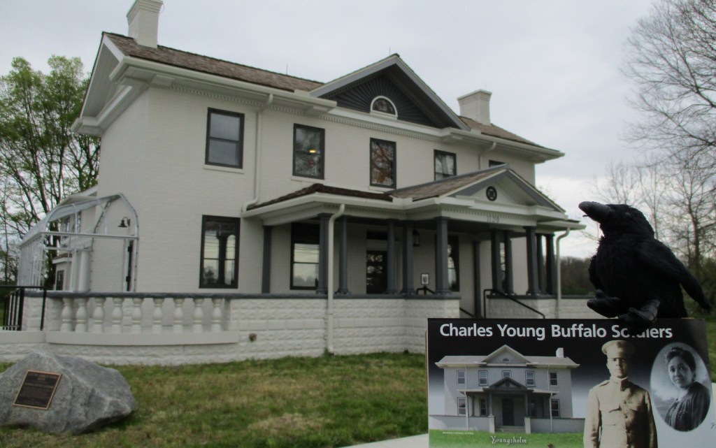
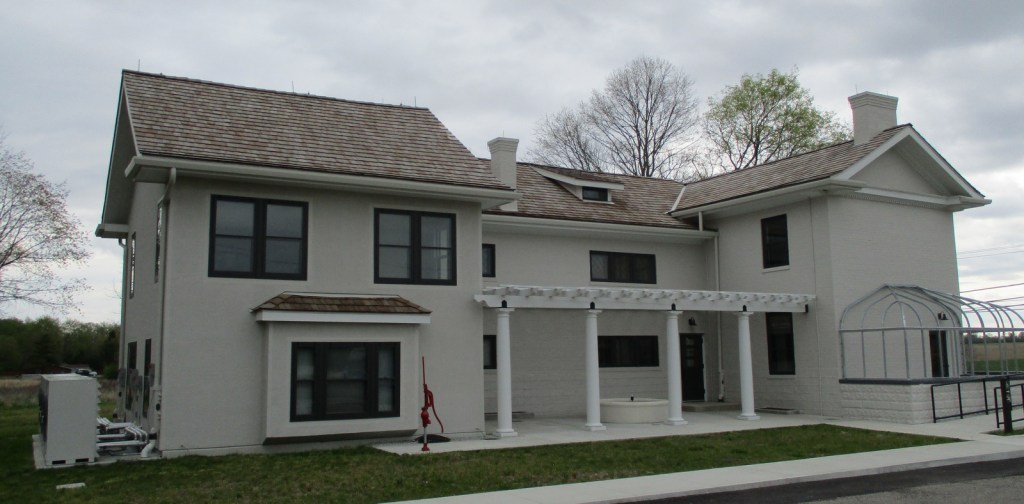
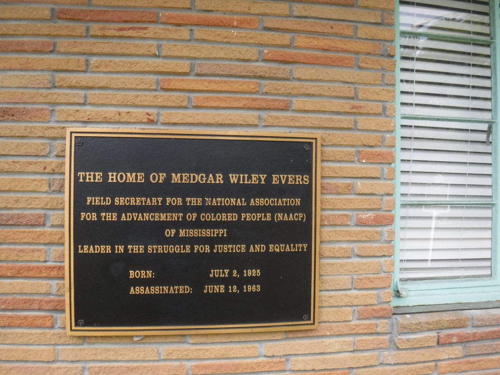
In the early 1960s, Medgar Evers served as a field secretary for the National Association for the Advancement of Colored People (NAACP) and became a target for racial hatred in Jackson, Mississippi. After Medgar was slugged while aboard a bus and almost run over by a car, the Evers family home was firebombed on May 28, 1963. Then just before midnight on June 11, Medgar was assassinated in his driveway by a sniper from a vacant lot across the street. Medgar died the next morning and his wife Myrlie moved the family to California where she continued as a civil rights advocate (and was eventually elected as Chair of the NAACP). The family rented the property for 30 years before donating it to Tougaloo College who restored the house and sold it to the National Park Service (NPS) in 2020.
Learn more about the other 137 National Monuments in our book Monumental America: Your Guide to All 138 National Monuments. It is now available for sale on Amazon.com.

Highlights
Evers’ House, Myrlie’s Garden
Must-Do Activity
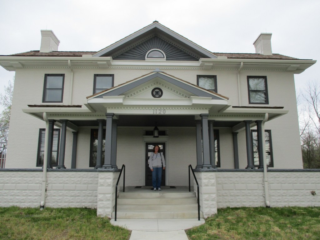
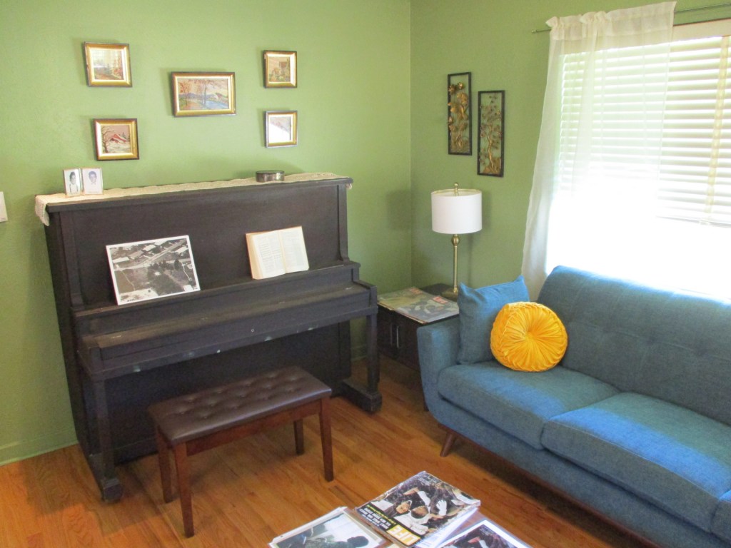
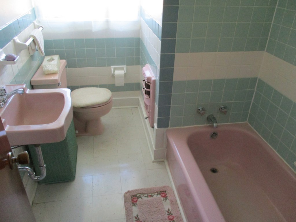
In 1956, the Evers family chose this new house because it did not have a front door, but rather an entrance on the side off the covered carport for security. After you enter the house from the back door, be sure to find where the bullet hole is still in the wall to the kitchen. You will also notice that the children’s beds were on the floor below the window level for safety, and Medgar trained them to crawl to the bathroom in case of an attack. There is a four-page Junior Ranger booklet for the site that can be completed during a short visit, which takes a serious yet positive tone for this important civil rights site. Still, it made it on our list of the Top 10 Most Depressing National Park Service Sites.
Best Trail
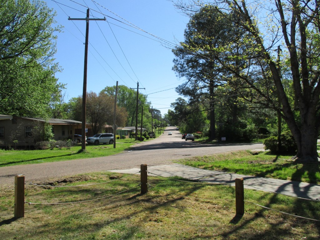
There is a sidewalk through Myrlie’s Garden, a community garden less than one-tenth of a mile from the house where interpretive signs on the wooden fence tell the life story of the Evers.
Photographic Opportunity
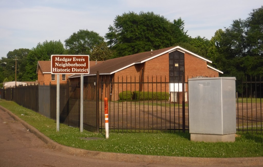
In Jackson’s Elraine Subdivision, the Evers’ house is one of 36 ranch-style houses built as the first planned middle-class subdivision for African Americans in Mississippi after World War II.
Peak Season
Spring and fall
Hours
Closed Sundays and Mondays, and noon to 1 p.m. for lunch
https://www.nps.gov/memy/planyourvisit/hours.htm
Fees
None
Road Conditions
There is street parking available in the neighborhood, but rangers prefer that you park at Myrlie’s Garden and walk over.
Camping
There are three free NPS campgrounds along the 444-mile Natchez Trace Parkway, which runs through Jackson, Mississippi. To the east on Interstate 20, Bienville National Forest also has camping options.
Related Sites
Emmett Till and Mamie Till-Mobley National Monument (Mississippi-Illinois)
Natchez Trace National Scenic Trail (Mississippi-Alabama-Tennessee)
Birmingham Civil Rights National Monument (Alabama)


Explore More – The assassin Byron De La Beckwith was immediately caught, then set free after two deadlocked trials, so how many years later was he finally convicted?

Learn more about the other 137 National Monuments in our book Monumental America: Your Guide to All 138 National Monuments