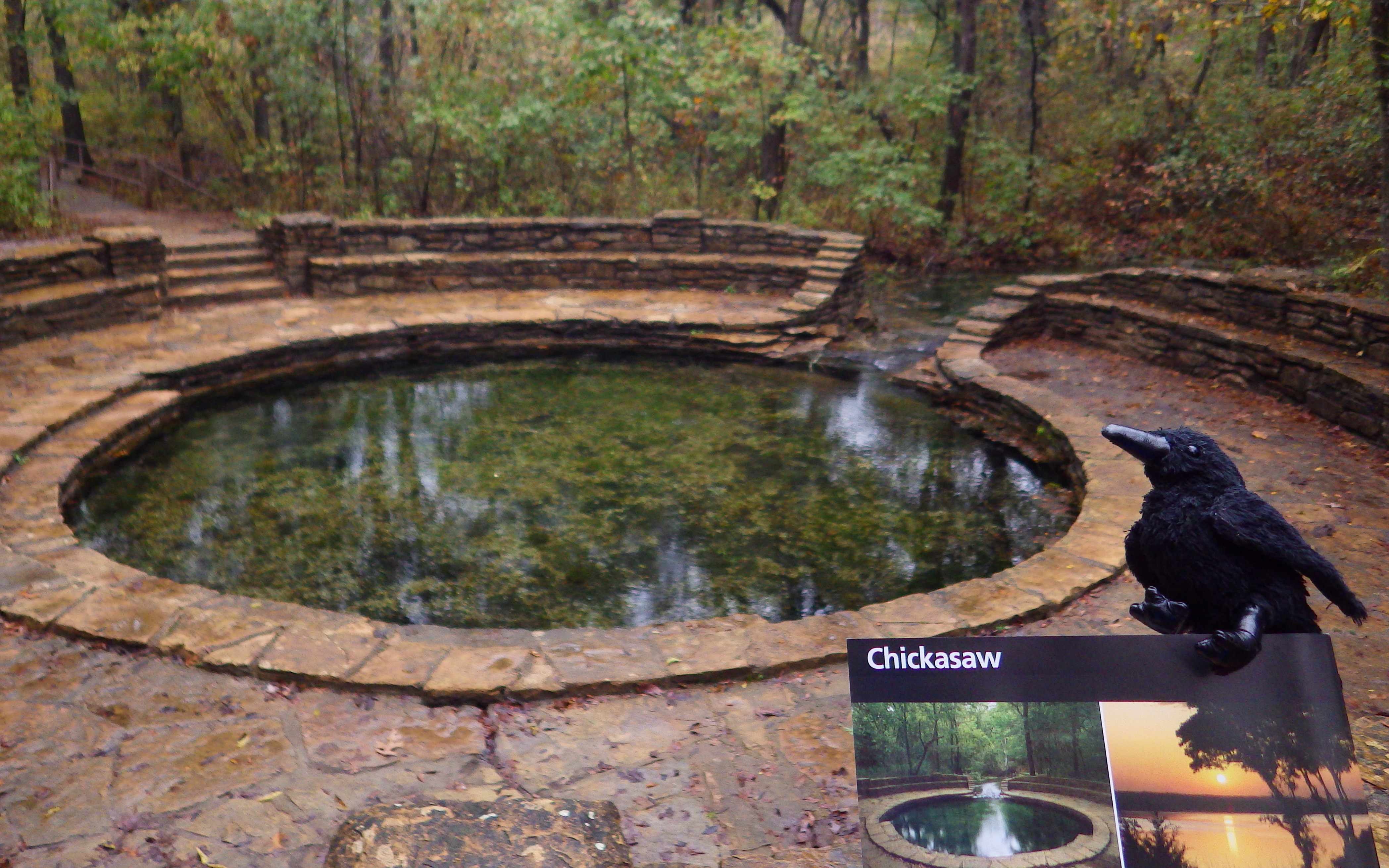
Overview
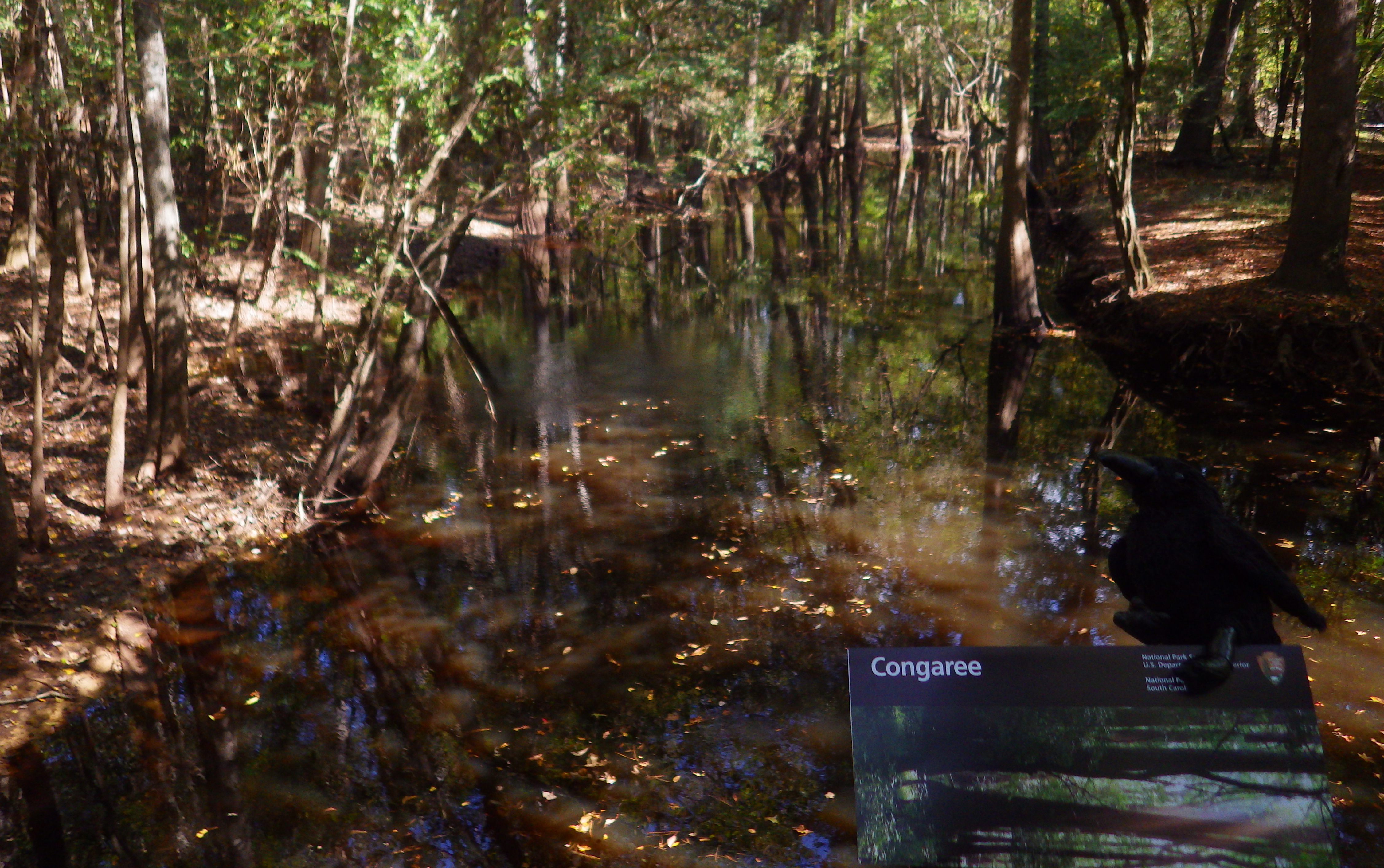
The last uncut bottomland hardwood forest in the southeast was originally preserved as Congaree Swamp National Monument in 1976 then became a National Park in 2003. These forests once covered 52-million acres of the southeastern United States and today this park contains some of the tallest examples of its native tree species in the world.
Highlights
Baldcypress trees with knees, hiking, birding, paddling
Must-Do Activity
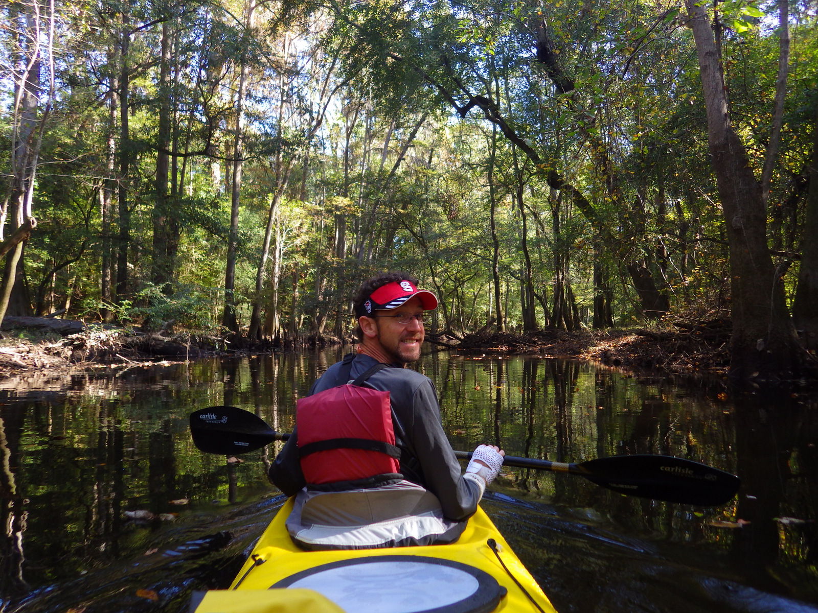
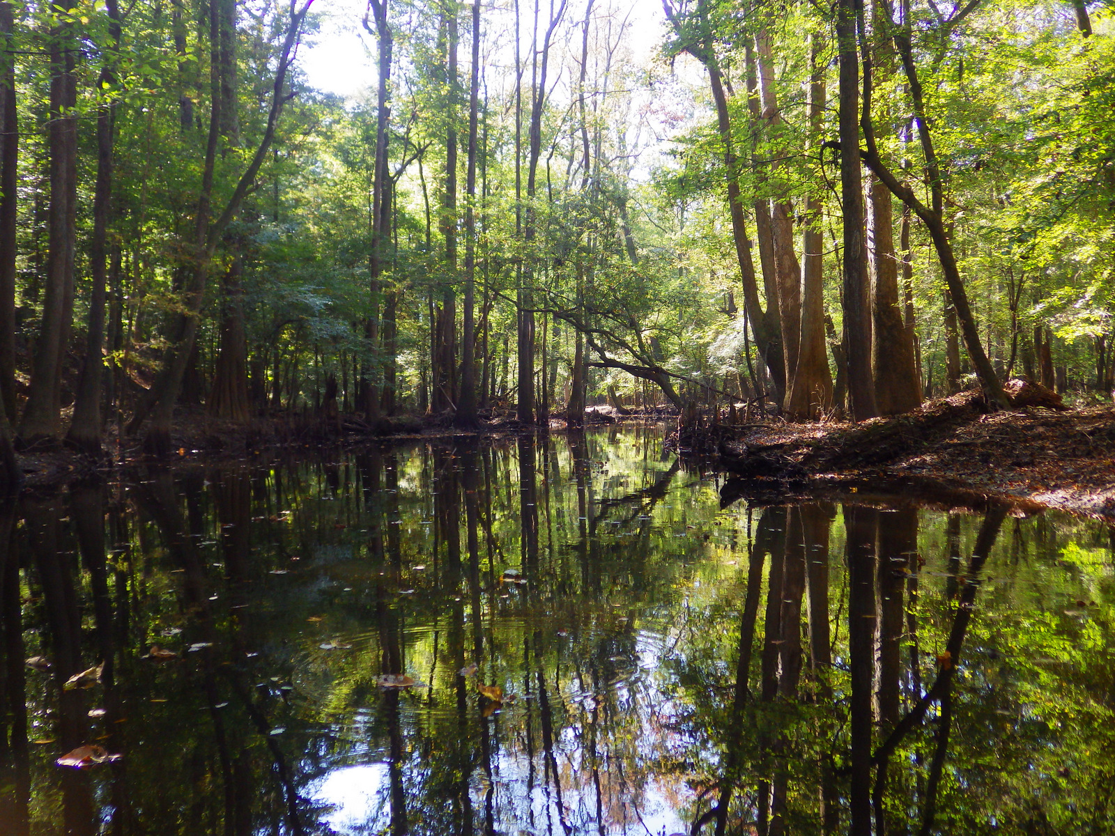
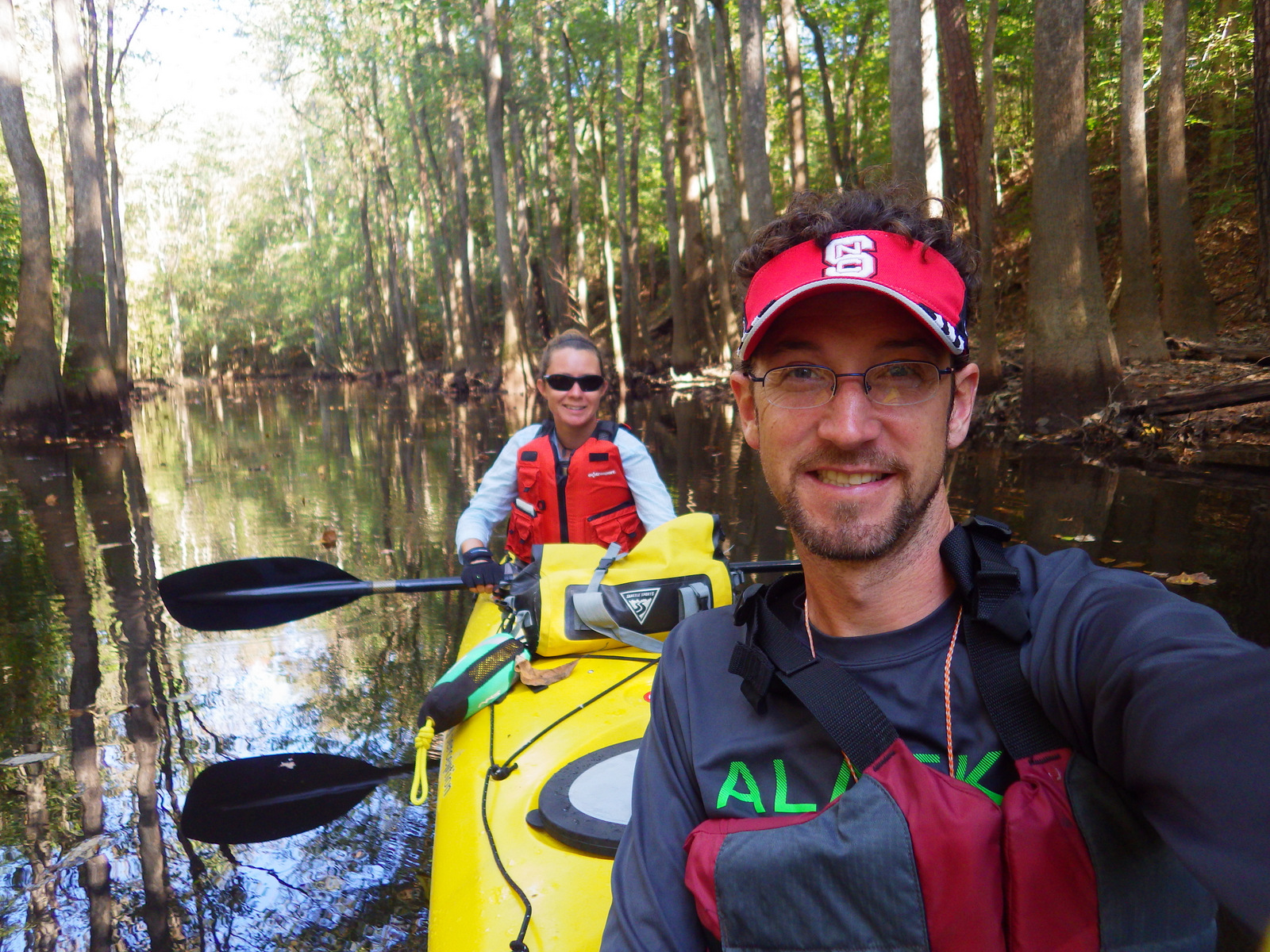
Hop in a canoe or kayak to explore remote sections of this primeval forest. As you might imagine, all of this standing water is a great breeding ground for mosquitoes; just another reason to come in the winter. At the visitor center, a handy rating system helps prepare you for the onslaught or the “All clear.”
Best Trail
Even if the ground is flooded, stick to the wheelchair accessible boardwalk and you can still hike through the forest for 2.4 miles without getting your feet wet.
Instagram-worthy Photo
Our favorite tree here is the baldcypress, one of the few deciduous conifer trees (meaning it loses all its needles every autumn). Baldcypress trees are famous for their “knees” which rise from their roots up to seven feet in the air, helping the roots breathe when underwater.
![37-[000308].jpg](https://ravenabouttheparks.com/wp-content/uploads/2018/10/37-000308.jpg)
Peak Season
We prefer the winter when mosquitoes are absent, but anytime is good at this park that only saw 159,595 visitors in 2017.
Hours
https://www.nps.gov/cong/planyourvisit/hours.htm
Fees
None
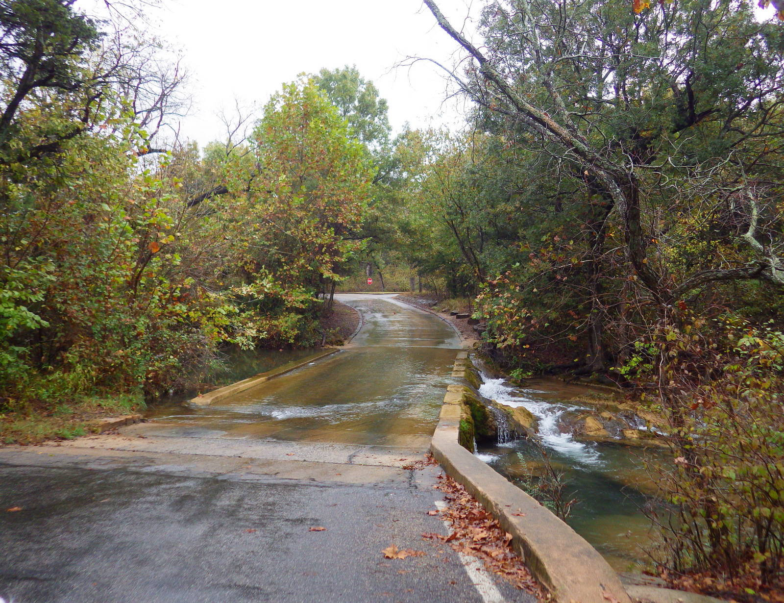
Road Conditions
All roads paved, except right at the Cedar Creek Landing boat launch.
Camping
Longleaf Campground has 8 sites and Bluff Campsite has three about a mile from the visitor center. Backcountry camping is allowed with a free permit.
![31-[003593]](https://ravenabouttheparks.com/wp-content/uploads/2018/10/31-003593.jpg)
![33-[000274]](https://ravenabouttheparks.com/wp-content/uploads/2018/10/33-000274.jpg)
![35-[000477]](https://ravenabouttheparks.com/wp-content/uploads/2018/10/35-000477.jpg)
![36-[003650]](https://ravenabouttheparks.com/wp-content/uploads/2018/10/36-003650.jpg)
Explore More – How tall are the record-holding water tupelo, cherrybark oak, and swamp hickory trees in the park?

WONDON WAS HERE

We are a participant in the Amazon Services LLC Associates Program, an affiliate advertising program designed to provide a means for us to earn fees by linking to Amazon.com and affiliated sites.