Overview
Part of Pierre L’Enfant’s 1791 design for Washington, D.C., his “grand avenue” was not fully realized until the 1900s when a train station was removed to fully open up two miles of grass between the U.S. Capitol and Lincoln Memorial. Today, America’s front lawn is lined with National Park Service (NPS) monuments and Smithsonian museums. The 2003 Reserve Act declared the National Mall a completed work of civic art and restricted further construction after completion of the World War II Memorial. However, in 2014 the American Veterans Disabled for Life Memorial was dedicated at its eastern end.

Highlights
Lincoln Memorial, Reflecting Pool, Washington Monument, Ulysses S. Grant Memorial, U.S. Capitol
Must-Do Activity
There is no official visitation count kept for the National Mall, but if there was its 24-million annual visitors would make it the number one busiest site in the entire NPS system. Not far from the steps of the Lincoln Memorial where he gave his most famous speech in 1963, is the Martin Luther King, Jr. Memorial, one of the numerous NPS sites located here. The National Air and Space Museum is one of several awesome galleries of the Smithsonian Institution, containing Charles Lindbergh’s The Spirit of Saint Louis, an Apollo Lunar Module, and the original Wright Brothers flyer used in 1903. There is so much to see and do, you could easily spend more than a week exploring.
Best Trail
One of the greatest overlooks of the National Mall is from the U.S. Marine Corps War Memorial (part of George Washington Memorial Parkway), located across the Potomac River in Arlington, Virginia. It is a bit of a walk from the National Mall, but the view is especially breathtaking at night.
Instagram-worthy Photo
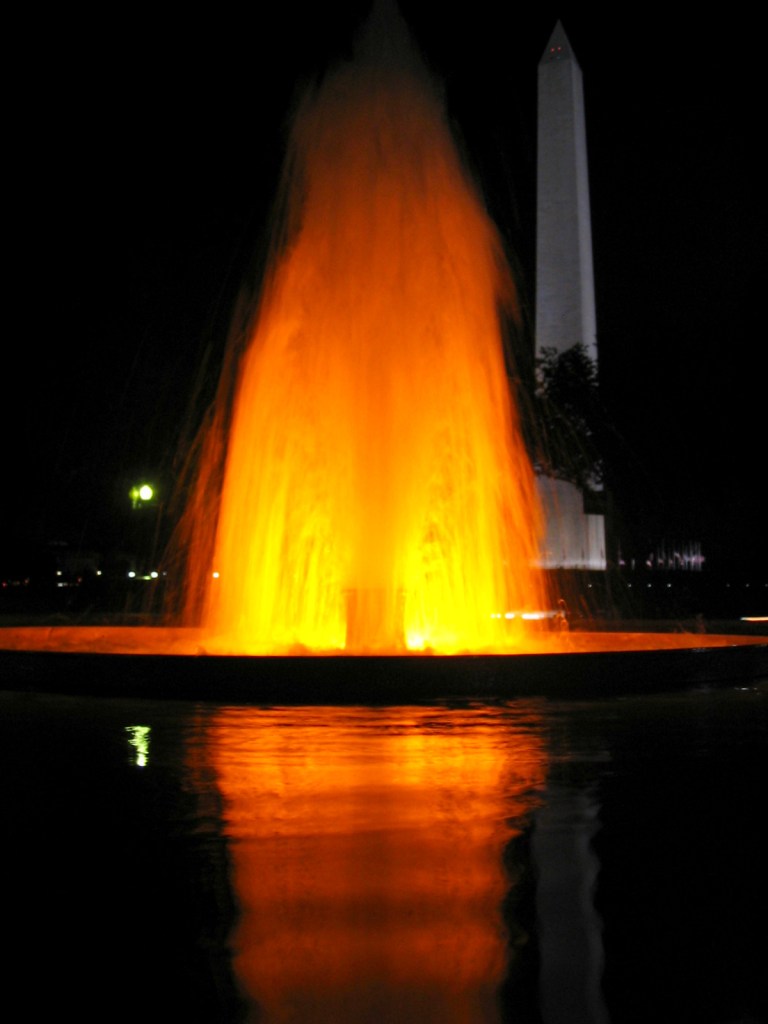
At some point during your visit, do yourself a favor and come after dark. It is nicely decorated each December (but you might need a tripod for photographs).
Peak Season
Summer, and also weekends during the National Cherry Blossom Festival (March-April)
Hours
https://www.nps.gov/nama/planyourvisit/hours.htm
Fees
None
Road Conditions
As with most NPS sites in Washington, D.C., it is easier to walk or take the Metro than find parking for your car.
Camping
There are no NPS campgrounds in the Washington, D.C. area, so it might be best to head for Shenandoah National Park in Virginia.
Related Sites
Lincoln Memorial (District of Columbia)
Constitution Gardens (District of Columbia)
Korean War Veterans Memorial (District of Columbia)
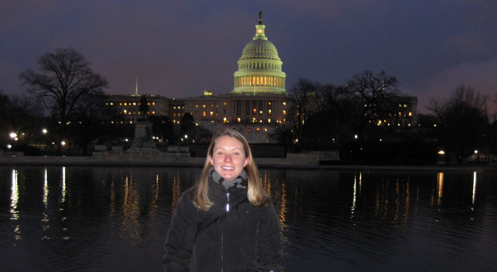
Tiff at the U.S. Capitol in 2009 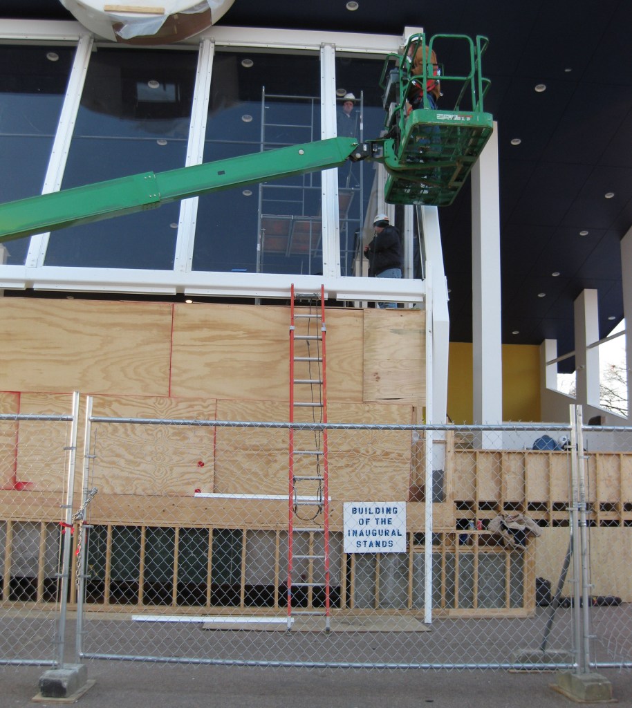
Construction on the National Mall for 2009 Presidential Inauguration 
Smithsonian National Museum of Natural History 
Wright Brothers flyer in the National Air and Space Museum 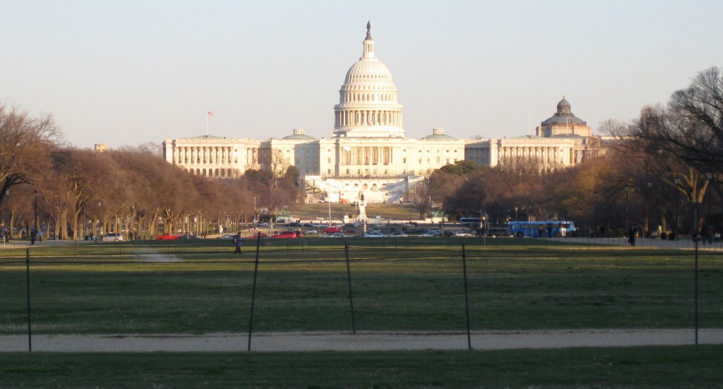

Christmas decor in December 
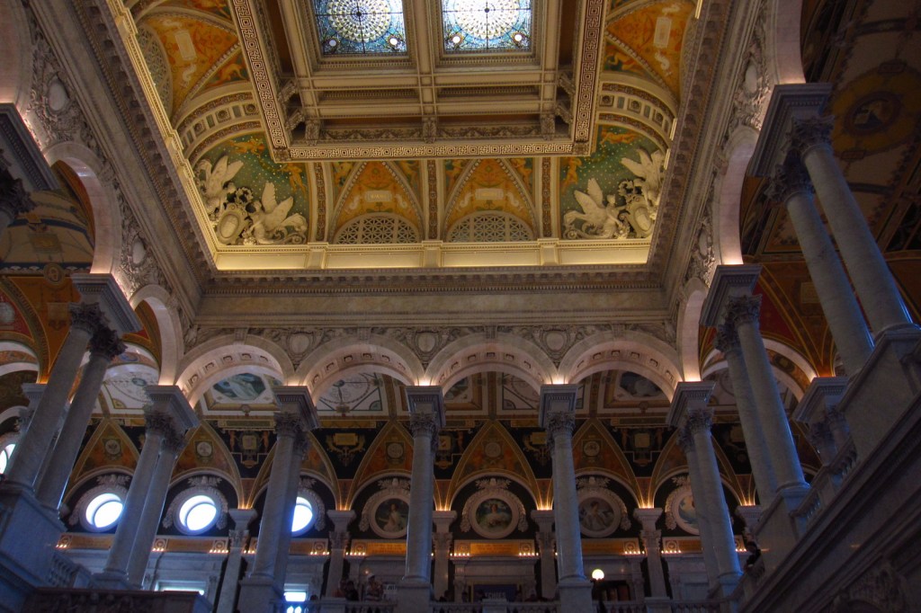
Inside the Library of Congress 
Ulysses S. Grant Memorial 

View from National African American Museum of History and Culture
Explore More – The Tidal Basin (home to the Thomas Jefferson Memorial and Franklin Delano Roosevelt Memorial) is considered part of the National Mall, so when were the famous cherry trees (a gift from Japan) planted there?