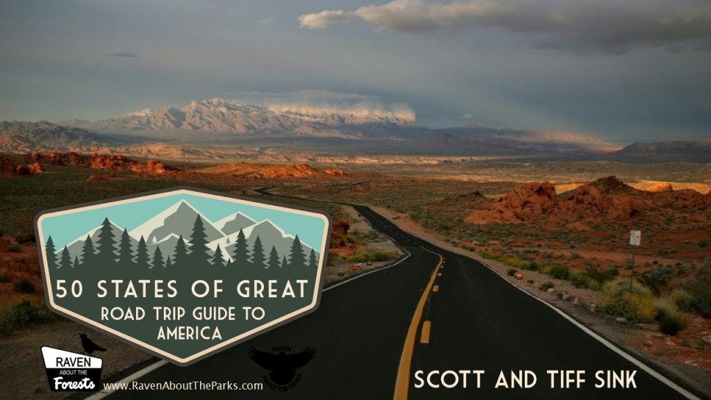
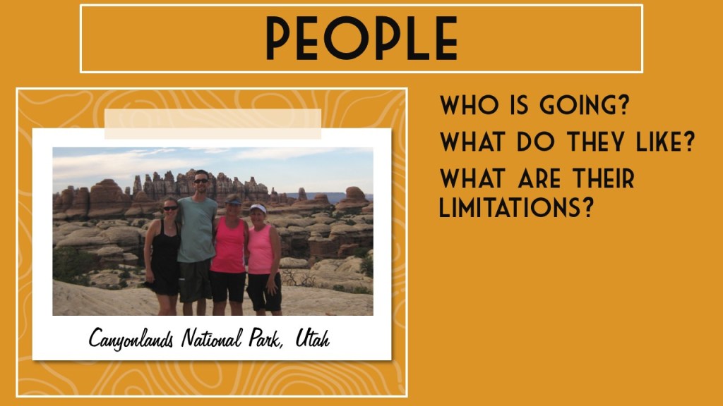
Following our 2023 visit to Buffalo, New York, we realized how many National Park Service (NPS) units revolve around the Roosevelt Family: Presidents Theodore (Teddy) and Franklin (FDR), plus influential First Lady Eleanor. There are dozens of other NPS sites dedicated to former Presidents, so we will have to determine our favorites of those after we finish visiting them all someday. We hope you enjoy our ranking and please let us know your favorite. Click here to see all our Top 10 lists.
10. Theodore Roosevelt Birthplace National Historic Site (New York)
An interesting example of a historic brownstone home in New York City where a wealthy Knickerbocker family resided
9. Catoctin Mountain Park (Maryland)
Camp David is in the middle of this park, which was called Shangri-La by FDR, the first U.S. President to utilize the compound
8. Eleanor Roosevelt National Historic Site (New York)
Many world leaders visited this nondescript former-factory in Hyde Park even after the passing of Eleanor’s husband FDR

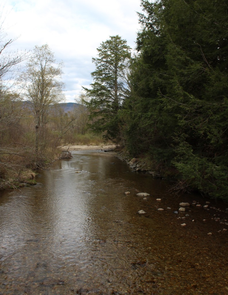
7. Theodore Roosevelt Island National Memorial (District of Columbia)
Teddy used to swim in the Potomac River year round, so it is fitting that his statue stands on this island on its Virginia bank
6. Home of Franklin D. Roosevelt National Historic Site (New York)
A lavish mansion sits above the Hudson River in Hyde Park near Vanderbilt National Historic Site
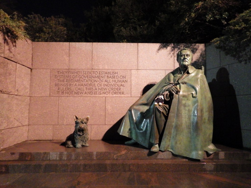
5. Franklin Delano Roosevelt Memorial (District of Columbia)
Instead of one large statue, there are multiple smaller ones portraying FDR’s historically long presidency
4. Theodore Roosevelt Inaugural National Historic Site (New York)
There is an interesting small museum downstairs and interactive exhibits throughout the house in downtown Buffalo where Teddy was sworn in following President McKinley’s death

3. Mount Rushmore National Memorial (South Dakota)
Theodore Roosevelt was the most contemporary and controversial figure carved into Mt. Rushmore, but his legacy has justified his inclusion
2. Sagamore Hill National Historic Site (New York)
Teddy’s mansion on Long Island is a beautiful house full of historic artifacts
…and finally our #1 Roosevelt Family NPS Site:

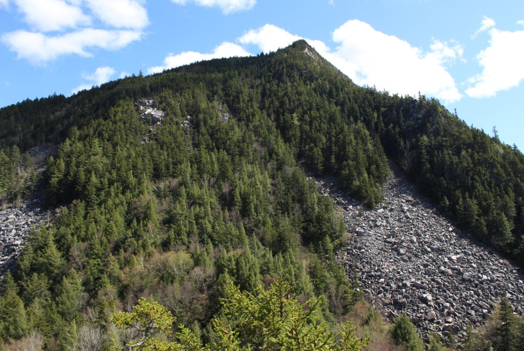
1. Theodore Roosevelt National Park (North Dakota)
We think Teddy would love to visit the only one of the 63 National Parks named for a President, with bison roaming where he once ranched cattle
.
Honorable Mentions
Roosevelt Campobello International Park (New Brunswick)
Summer home of FDR and Eleanor jointly managed by Parks Canada and the NPS

Lake Roosevelt National Recreation Area (Washington)
The reservoir created by the Grand Coulee Dam in the 1930s was named for FDR
Roosevelt National Forest (Colorado)
Not an NPS site, but named for Teddy who created the U.S. Forest Service during his presidency
Yosemite National Park (California)
Who could forget the famous image of John Muir and Teddy camping in this National Park

Grand Canyon National Park (Arizona)
One of many National Monuments established during Teddy’s presidency, several of which became National Parks