Overview
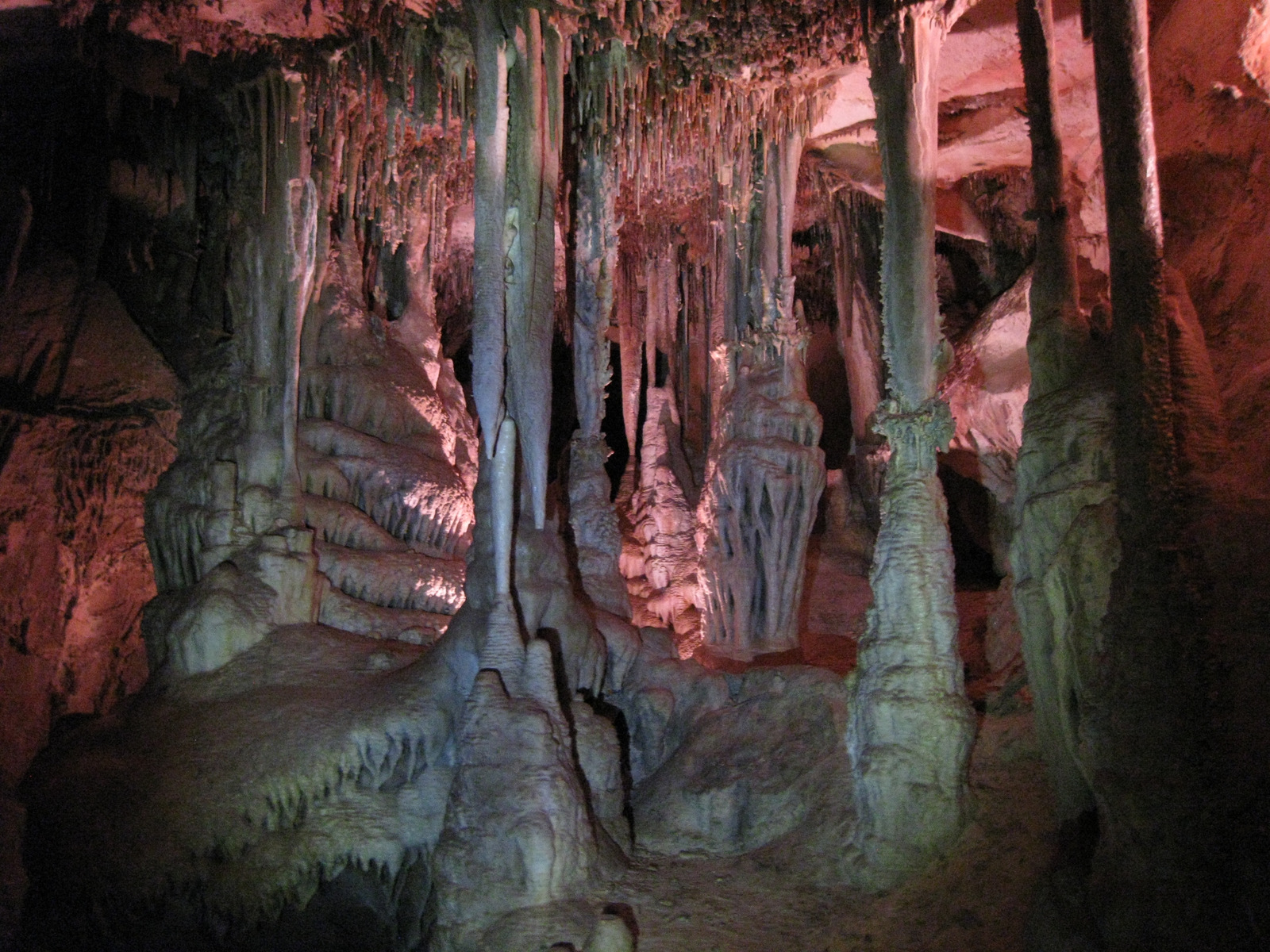
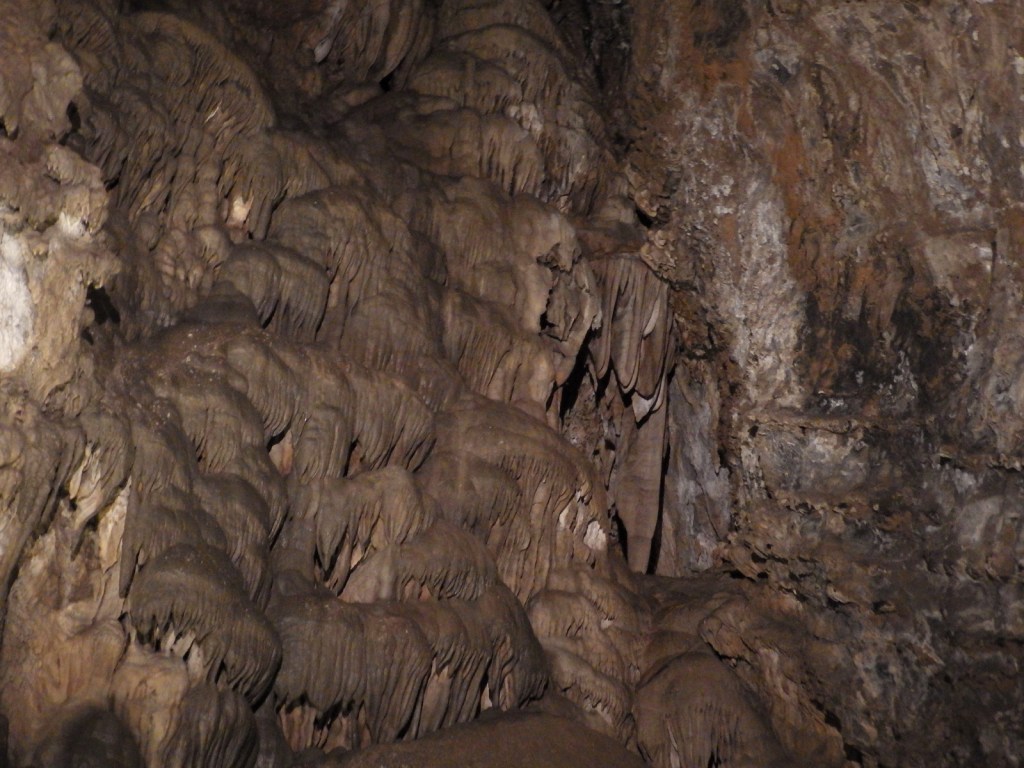
East of Provo, Utah in Uinta National Forest lies tiny Timpanogos Cave National Monument. Accessing the cave requires a guided tour (fee) and a one-and-a-half mile hike that climbs 1,092 feet, but the destination is completely worth the effort as it has an amazing collection of helictites and other cave formations.

Highlights
Cave tour, Canyon Nature Trail, Alpine Scenic Drive, Timpanogos Peak, camping
Must-Do Activity
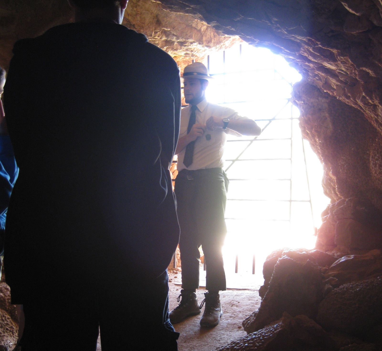
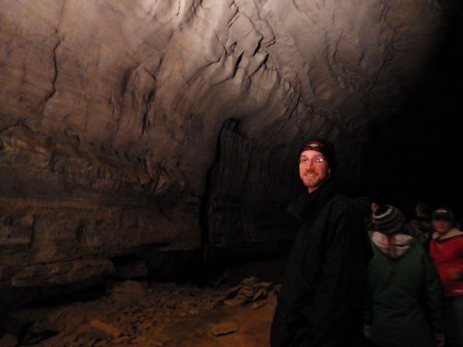
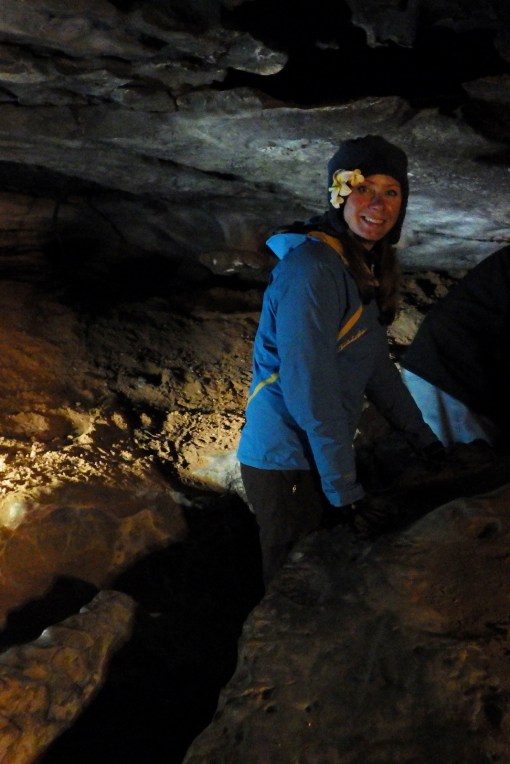
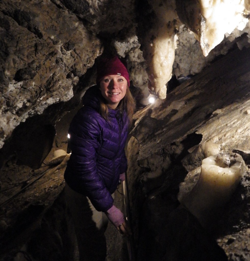
The cave tour actually takes you through three caves that were connected by manmade tunnels after the National Park Service (NPS) took over management in 1922. It is a bit strange to find yourself turning a door handle when inside of a mountain, though.
Best Trail
Most caves run by the NPS have an elevator, but Timpanogos Cave requires a one-and-a-half mile hike that climbs 1,092 feet, which might not sound too bad until you consider it starts above 5,600 feet in elevation. The paved trail has many scenic overlooks at which you can stop to catch your breath. Canyon Nature Trail is a flatter option near the visitor center if you are not hiking up to the caves.
Instagram-worthy Photo
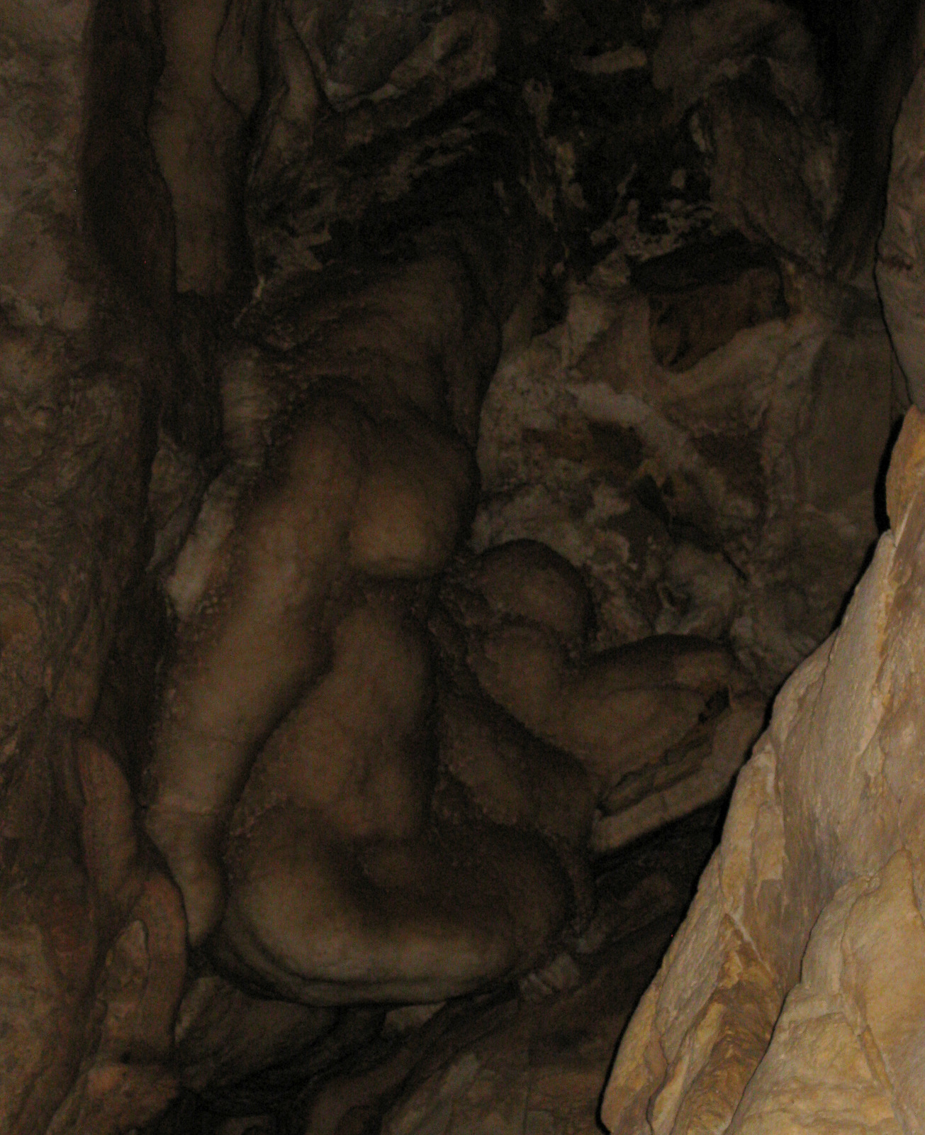
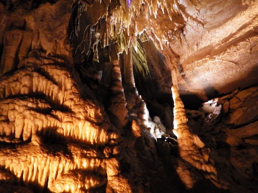
Timpanogos Cave has the best collection of gravity-defying helictite crystals we have ever seen.

Peak Season
Summer, closed October to May
Hours
https://www.nps.gov/tica/planyourvisit/hours.htm
Fees
There is an entry fee ($6) for Alpine Scenic Drive through American Fork Canyon, which is covered by the America The Beautiful Pass. Tickets ($8 per person) for cave tours often sell out on weekends, so reservations are recommended (they can be made 30 days in advance).
Road Conditions
Alpine Scenic Drive is paved, but parking is limited at the NPS visitor center.
Camping
There are numerous campgrounds (both developed and primitive) along the 20-mile Alpine Scenic Drive through Uinta National Forest. They can fill up due to its proximity to Salt Lake City, Utah, but backpacking is free and does not require a permit.

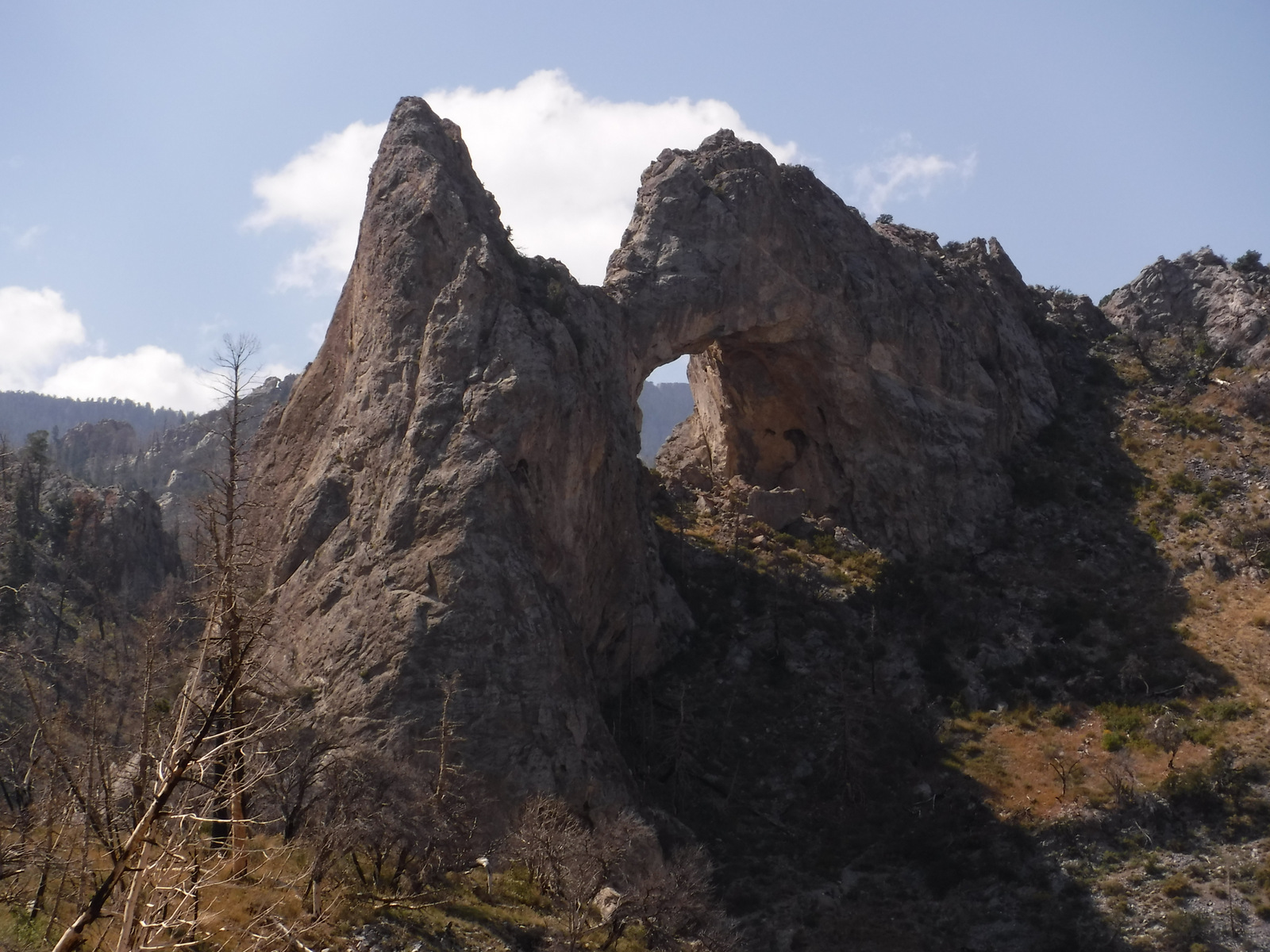
Rock falls are a real danger when climbing up the side of Mount Timpanogos 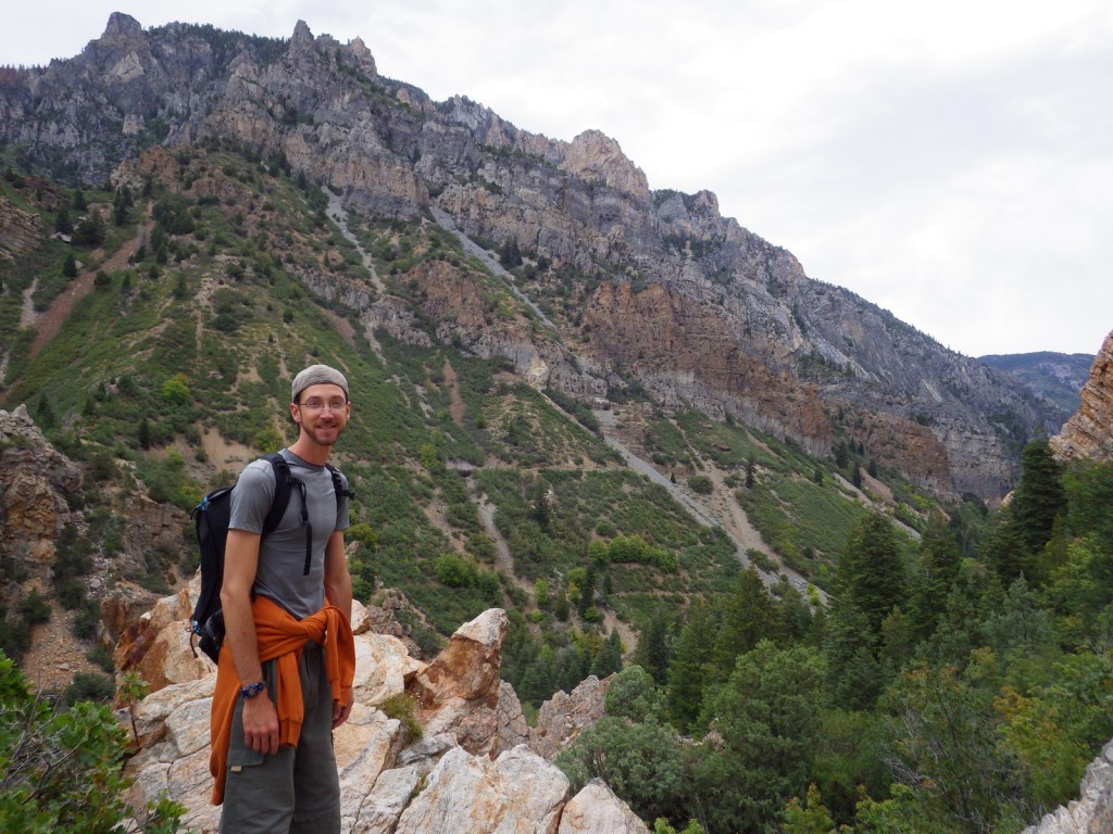


Looking west out of the canyon towards Provo, Utah 
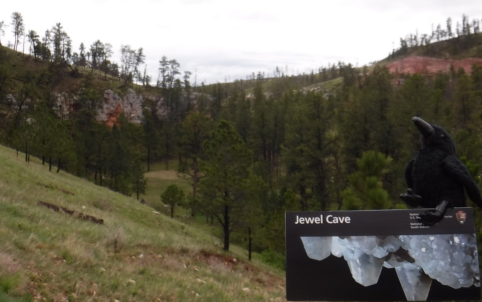
Echo the Raven liked the name of this Forest Service picnic area
Explore More – How do helictites form in twisted shapes that defy gravity?